Subject: Washington, D.C.
Period: 1855-80 (circa)
Publication:
Color: Hand Color
Three hand-colored maps of Washington by three leading mapmakers of the 20th century, all with decorative borders:
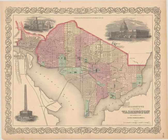
A. Georgetown and the City of Washington - The Capital of the United States of America, by J.H. Colton, dated 1855 (15.9 x 12.9"). This fine, nineteenth-century plan of the city also portrays three large vignettes of the Capitol, Washington Monument, and the Smithsonian Institution. All major streets and buildings are named. The Washington Monument is shown in the full design envisioned by Robert Mills that includes the lower colonnade which was never built due to costs and arguments on its design. The map is surrounded with Colton's decorative strapwork border.
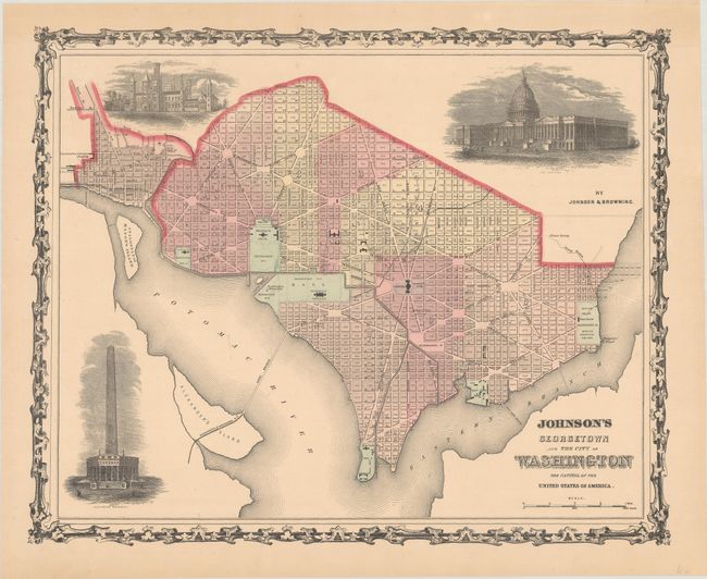
B. Johnson's Georgetown and the City of Washington - The Capital of the United States of America, by Johnson & Browning, circa 1860-62 (15.4 x 12.4"). A very similar example to the above also featuring three vignettes of the Capitol, Washington Monument, and the Smithsonian Institution. Surrounded by a metalwork border.
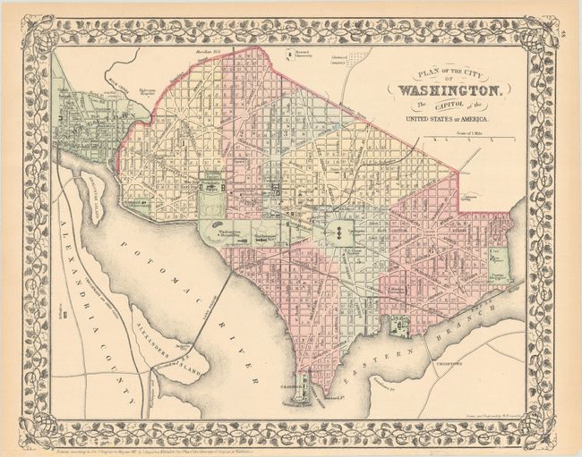
C. Plan of the City of Washington. The Capitol of the United States, by Samuel Augustus Mitchell, circa 1880 (13.8 x 11.3"). A nice example with major buildings and sites noted. Engraved by W.H. Gamble. Surrounded by a floral and ribbon border.
References:
Condition: A
Nice examples with a hint of toning along the sheet edges.