Subject: Colorado Springs, Colorado
Period: 1892 (published)
Publication:
Color: Printed Color
Size:
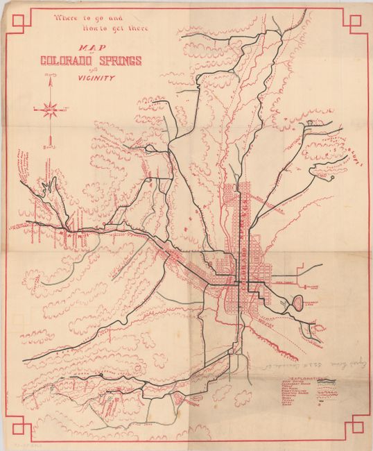
15 x 17.8 inches
38.1 x 45.2 cm
Printed in red ink, this map of Colorado Springs locates "main drives," secondary roads, and trails in black ink. The legend further identifies street car lines, streams, houses (including the printer's!), and even fences and gates. A number of railroads are identified on the map including the Denver & Rio Grande, Santa Fe and Rock Island. The map extends west to Manitou and the "Cog Road to Pike's Peak."
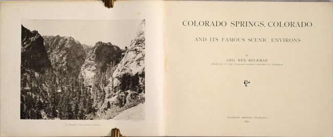
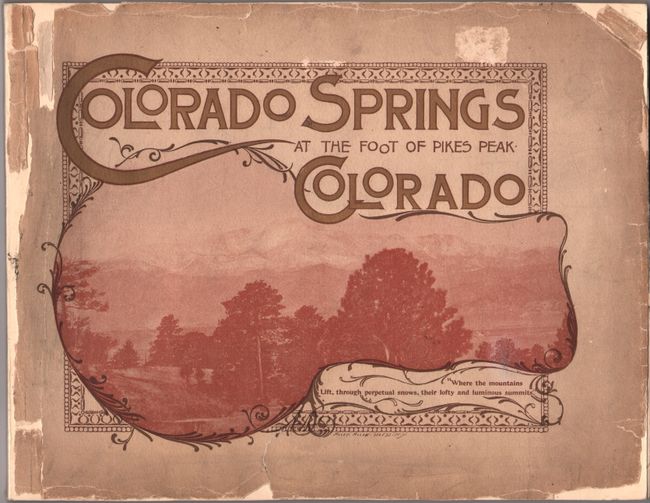
The map is accompanied by the volume it was laid into by George Buckman, Secretary of the Colorado Springs Chamber of Commerce. Includes numerous in-text illustrations and a few single-page plates on sturdy paper. 72 pages. Oblong quarto, original wrappers pasted on boards.
References:
Condition: B+
The folding map is issued on thin paper with minor foxing, a pencil notation, and a 1.5" fold separation at lower right that has been closed on verso with archival tape. Contents are mostly clean with light toning to the text. The "Pikes Peak from Colorado Springs" plate has a 6" tear across the image. Wrappers are heavily chipped and have been pasted on boards with new spine.