Subject: Colorado
Period: 1895 (dated)
Publication:
Color: Printed Color
Size:
39.7 x 29 inches
100.8 x 73.7 cm
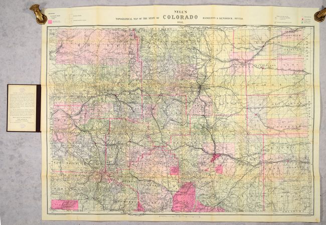
This highly detailed pocket map by Louis Nell "has been complied from all available surveys in existence, it is consequently the most complete and accurate one ever published, and shows all the information useful to settlers, miners and travelers." The map is fully engraved with virtually no area left untouched by the engraver and is drawn on a scale of 10 miles per inch. Beautifully colored to indicate timber reserves, reservations, and private land grants. Locates all towns, villages, settlements, mining areas, railroads, townships, and has contour lines at 1000' intervals.
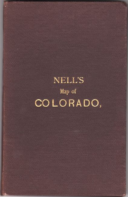
Nell came to Colorado in the mid-1870s as a topographical assistant to George Wheeler. Nell enjoyed the area so much that he settled there and published a series of maps of the state from 1880-1907, forming one of the most continuous cartographic records available for the period immediately following statehood. His detailed maps captured the rapid development of the area, including the great Silver Boom during the 1880s-90s. This 1895 edition was sold by Hamilton & Kendrick in Denver. Folds into brown cloth boards with gilt title on the front cover (4.7 x 7.3").
References: Brown (Portolan - Spring 2019) pp. 47-53.
Condition: B+
Issued folding on a clean sheet with expert repairs to a long fold separation with some minor image loss at a couple of fold junctions. There are stamps from a previous owner on verso and on the pastedown of the front cover. Covers have minor wear.