Catalog Archive
Auction 186, Lot 228

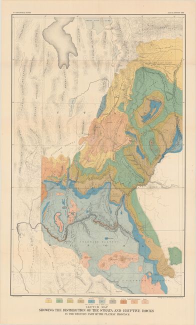
"Sketch Map Showing the Distribution of the Strata and Eruptive Rocks in the Western Part of the Plateau Province", U.S. Geological Survey (USGS)

Subject: Southwestern United States

Period: 1881 (dated)

Publication:

Color: Printed Color

Size:
18 x 28.9 inches
45.7 x 73.4 cm
Download High Resolution Image
(or just click on image to launch the Zoom viewer)

This map details the region from Prescott (Ft. Whipple) and Camp Verde north through the Grand Canyon and Marble Canyon, today's Canyonlands National Park, Moab, and the southern portion of the Great Salt Lake. It locates the Wasatch and Uintah Mountains, the Bad Land Cliffs (Book Cliffs), the San Juan River, etc. and has remarkable detail of the watershed and topography. This thematic map identifies ten geological types through color including: Tertiary, Cretaceous, Jurassic, Trias, Permian, Carboniferous, Silurian, Archaean, Trachyte, Rhyolite & Andesite, and Basalt. Engraved by J.H. Renshawe. A colorful and handsome map.

References:

Condition: A

Issued folding on a clean sheet with a couple of tiny splits at the fold junctions.

Estimate: $160 - $190

Sold for: $65

Closed on 2/9/2022

Archived