Subject: Railroad Surveys
Period: 1856 (published)
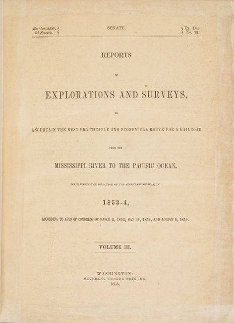
Publication: Sen. Ex. Doc. 78, 33rd Congress, 2nd Session
Color: Hand Color
Size:
9 x 11.6 inches
22.9 x 29.5 cm
During the 1850s, the U.S. government sponsored an extensive series of expeditions designed to gather information on the vast new territories that had been acquired in western North America. The discovery of gold in California further stimulated westward traffic and heightened the need for a faster and more convenient way to bring the far-flung parts of the country together. In 1853 Congress commissioned the Army's Topographic Bureau to conduct a series of surveys to find a suitable route for a transcontinental railroad. There were six major expeditions; five of them covered the area between the Great Plains and west coast, and the sixth explored the coastal states of California and Oregon. All of these expeditions were accompanied by naturalists and artists to document the landscape, flora and fauna along the route.
The reports, maps and lithographs were published in the 13 volume report "Explorations and Surveys to ascertain the most practicable and economical route for a Railroad from the Mississippi river to the Pacific Ocean."
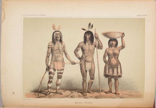
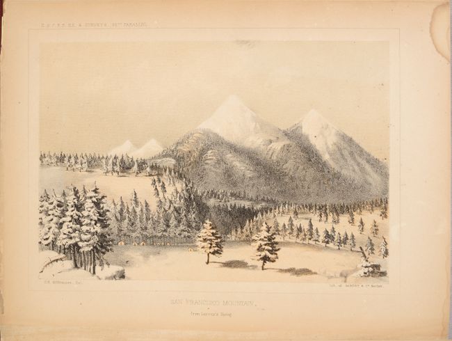
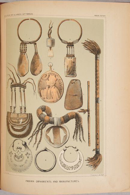
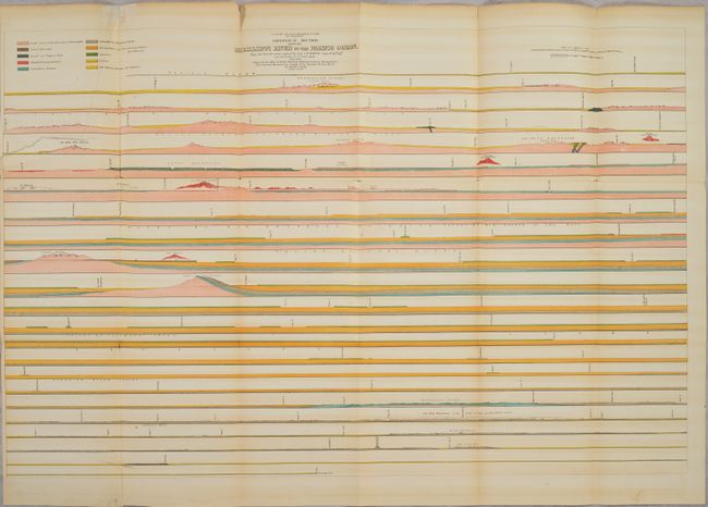
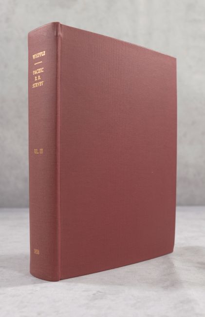
This Senate volume contains the reports of Lt. A. W. Whipple, Corps of Topographical Engineers, regarding his explorations and discoveries along the 35th parallel. It contains a superb collection of tinted lithographs including the lovely Zuni plate, San Francisco Mountains (Flagstaff), the Mojave Valley, the Mojave Villages, Navajoes (mounted on horseback with spears), plates of weapons, baskets and implements, and the famous Mojave Indians plate showing three heavily tattooed Indians, all by H.B. Mollhausen, the expedition artist. There are 21 tinted plates and 11 black and white plates including fossils, all full page, and two colorful geological sections at rear. The volume does not contain the folding Geological Map of the Route Explored... or the two folding topographical maps (Fort Smith to the Pacific Ocean) cited in Wagner-Camp. Rebound in red cloth with gilt title on the spine. This example was a presentation copy from Whipple with his bookplate on the front pastedown (transferred from the original binding).
References: Wagner-Camp #263.
Condition: B+
Contents are mostly very good with variable light toning and occasional foxing. The large geological section at the rear of the volume has a 5" edge tear at left that has been closed with tissue on verso. There is a small dampstain in the bottom margin of most pages, away from text and images. The edges of the title page are reinforced with tissue on recto. Modern binding is near fine.