Subject: School Atlases
Period: 1835 (circa)
Publication:
Color: Hand Color
Size:
9.6 x 12.1 inches
24.4 x 30.7 cm
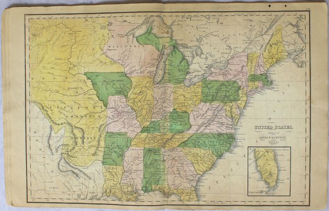
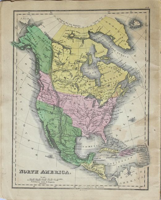
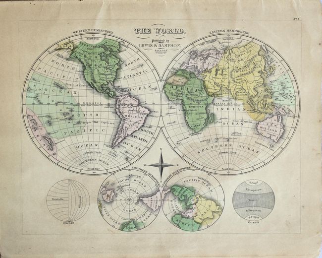
This attractive and uncommon school atlas contains 1 double-page map, 11 single-page maps, and a comparative chart of mountains and rivers. The double-page map of the United States depicts the eastern states with Iowa, Missouri and Arkansas territories all having provisional western borders. The region to the west of the Missouri River is simply West Territory and Emigrant Indians. Texas is still shown as part of Mexico with Houston and Austin (Colony) located. The atlas features maps of the World (1), North America (4), South America (1), Europe (3), Asia (2), and Africa (1). Published by Lewis & Sampson in Boston.
References:
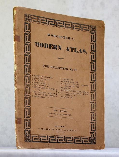
Condition: B+
Contemporary color with even light toning and only a few spots of foxing. The front and rear wrappers have separated and are held together by tape. A few maps are loose.