Subject: Atlases
Period: 1874 (dated)
Publication:
Color: Printed Color
Size:
16.8 x 22.1 inches
42.7 x 56.1 cm
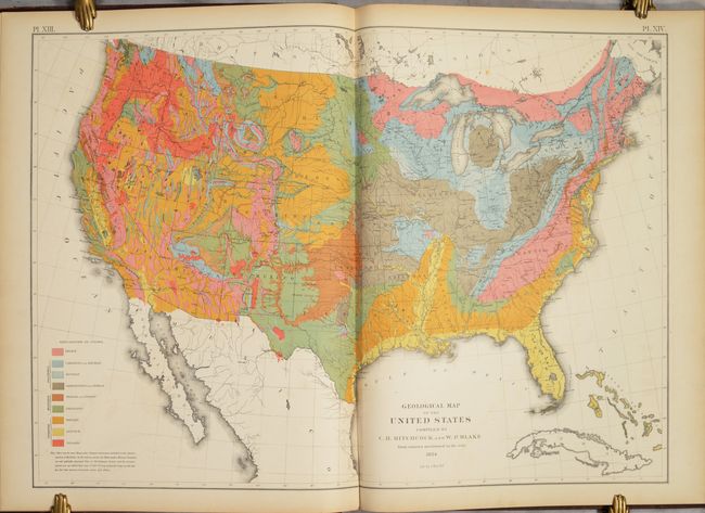
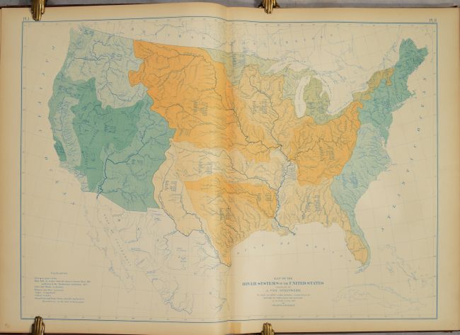
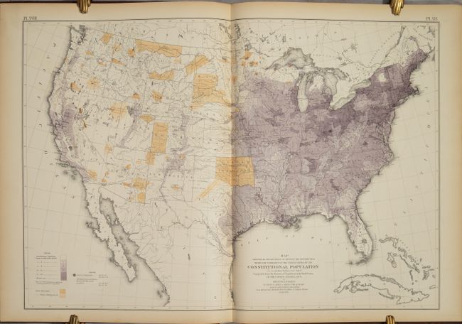
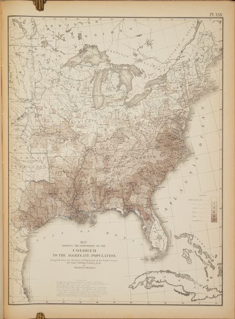
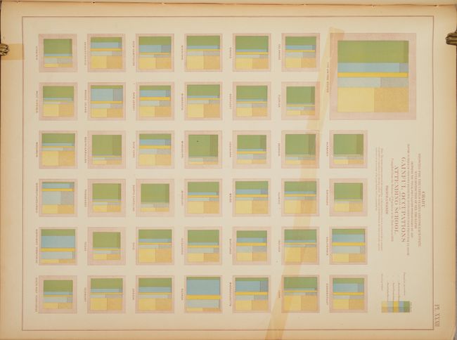
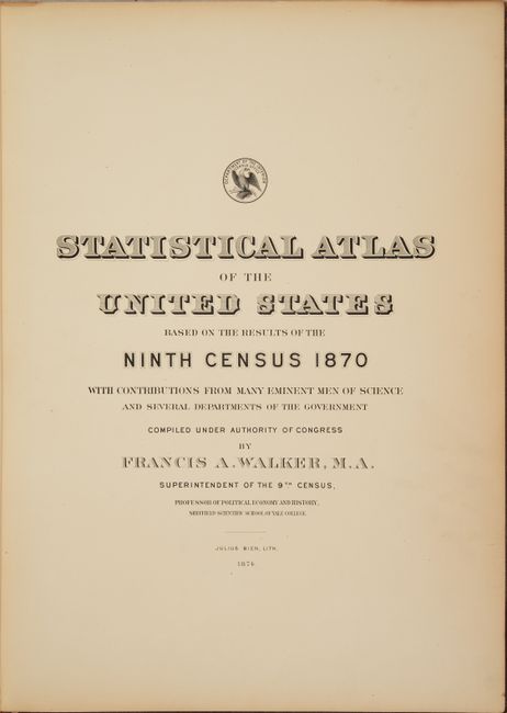
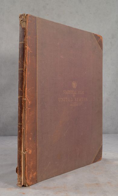
This large and important atlas is the first statistical atlas of the United States. It is complete with fifty-four plates, most double-page maps, providing a view of the physical, economic, and social geography of the United States. Most maps are colorful and thematic in nature including the desirable Geological Map of the United States by Hitchcock. Of special interest are the maps that show the population density for each decennial census from 1790 to 1870. Schwartz & Ehrenberg commend this atlas saying it was a "pioneering work [and] was the first atlas of analytical maps that showed the patterns of associations and it greatly influenced the development of thematic mapping in the Untied States." Francis A. Walker was the Superintendent of the Ninth Census and Professor of Political Economy and History in the Sheffield Scientific School at Yale College. Hardbound in quarter leather with tips over marbled boards with gilt title on the front cover.
References: Schwartz & Ehrenberg p. 303.
Condition: B+
The maps are mostly very good to near fine with a hint of pleasant light toning. A couple of maps have old tape repairs on recto that extend a few inches into the image. One of the charts (plate 32) and a text page (page 13) have long tears that have been closed with old tape on recto. Text is uniformly toned. The rear board is starting and the front board has nearly separated. Covers are worn and scuffed, edges bumped, and the spine is chipped at top and bottom.