Subject: Atlases
Period: 1872 (published)
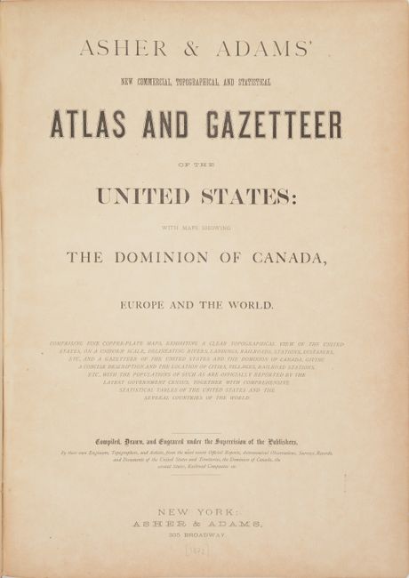
Publication:
Color: Hand Color
Size:
13.4 x 17.9 inches
34 x 45.5 cm
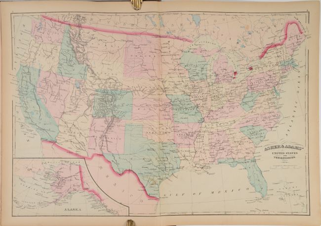
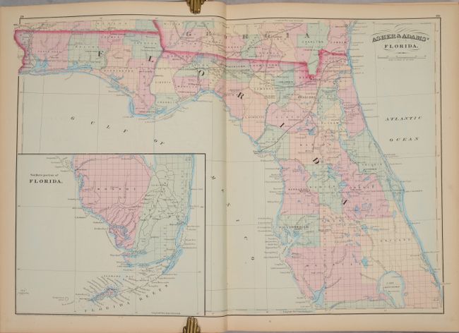
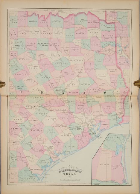
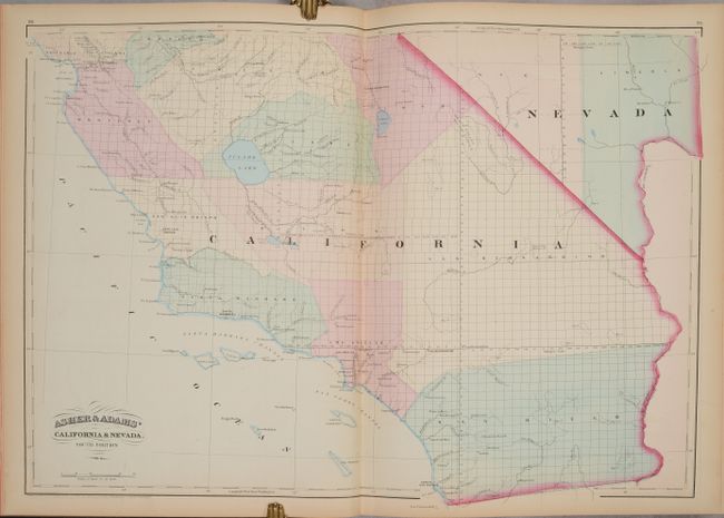
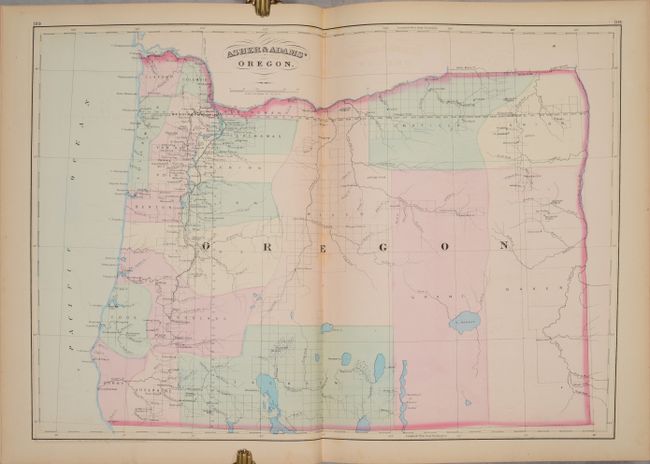
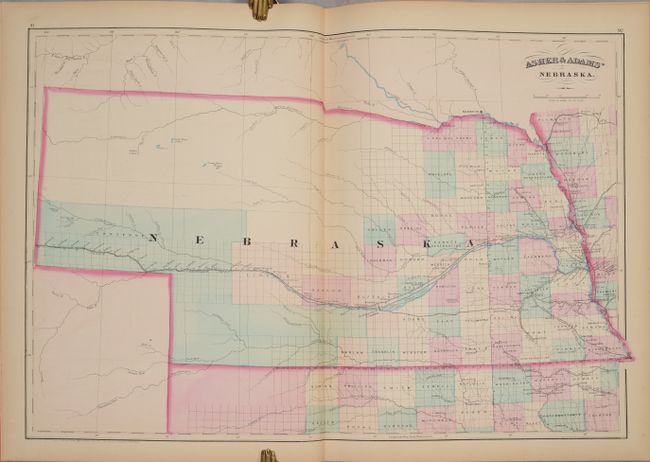
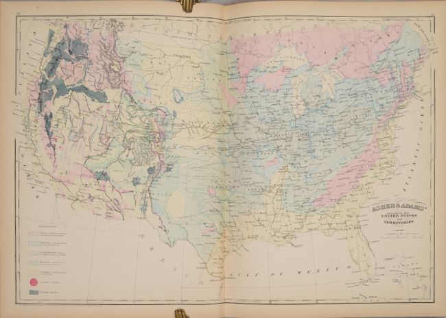
This large-format atlas of the United States is complete with 30 double-page maps, including a double-page map of Rhode Island not called for in the table of contents. Asher & Adams' Atlas was most notable for its excellent large-format maps of the states west of the Mississippi. The atlas includes a world map on Mercator's projection, a map of Europe, a United States & Territories map, a geological map of the US, and numerous state maps. The maps of Kansas and Nebraska depict the western portion of the states as largely unorganized, and the map of Texas only includes the eastern portion of the state. The atlas also includes populations by city, county, state, and territory for the U.S. and part of Canada, as well as 12 pages of classifications of prominent firms in the New England region. Folio, 265 pages with title page, index of maps, maps, and appendix. Contemporary quarter leather with tips over brown cloth boards with gilt title on the front cover.
References: Phillips (Atlases) #1270.
Condition: B+
The maps are very good to near fine with light toning and occasional foxing and offsetting. The map of Rhode Island has a 1.5" centerfold separation at bottom. Text is very clean and bright. Covers and spine are rubbed with a few gouges in the cloth.