Subject: Atlases
Period: 1864 (published)
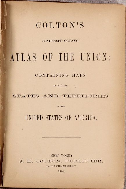
Publication:
Color: Hand Color
Size:
9.6 x 6.6 inches
24.4 x 16.8 cm
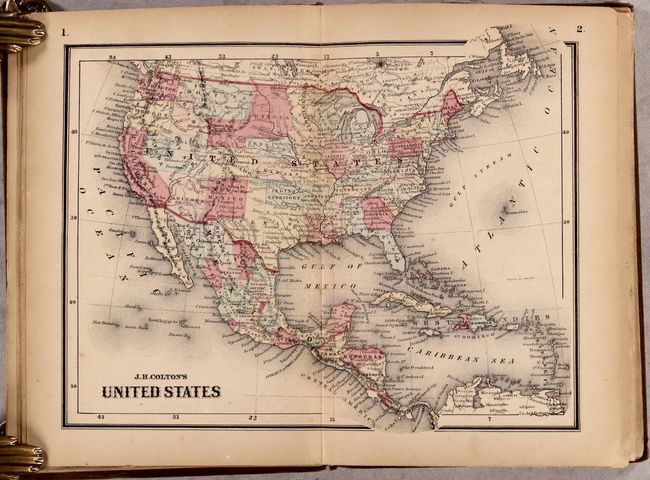
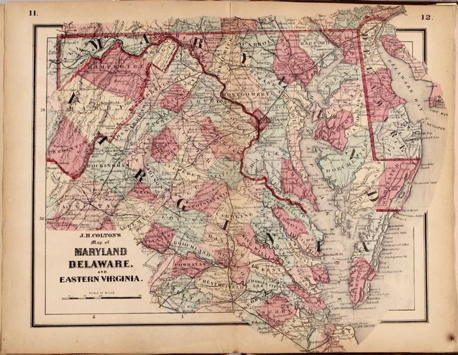
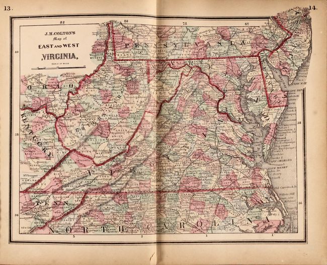
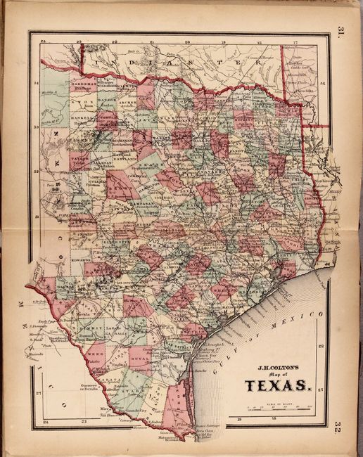
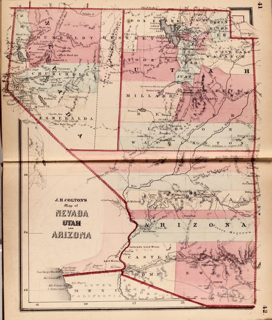
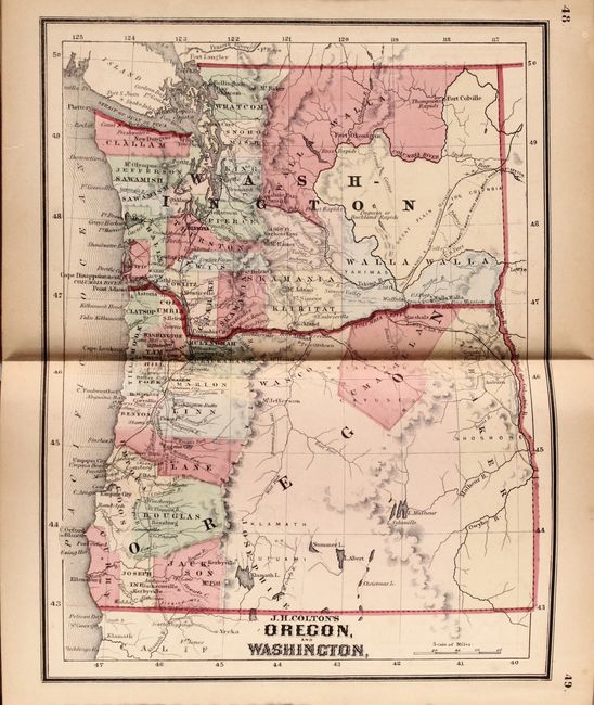
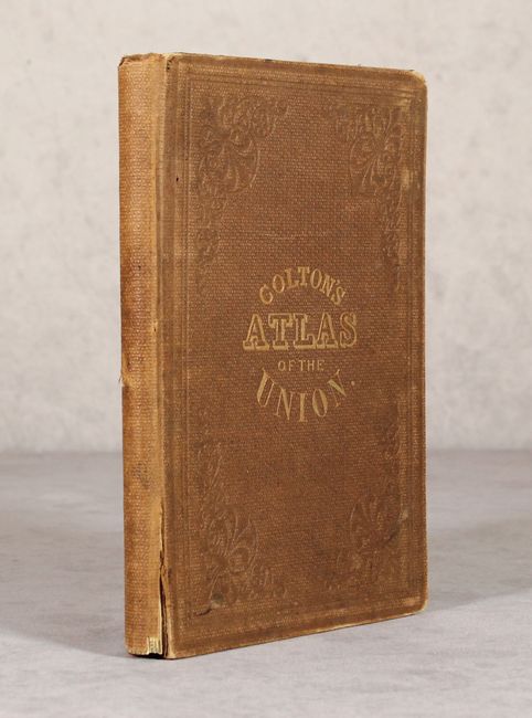
This complete atlas contains a total of 25 maps covering the states and territories of the United States, including 24 double-page maps and 1 folding map of California. Issued during the Civil War, it contains several maps not seen in other Colton atlases including Maryland Delaware, and Eastern Virginia and East and West Virginia. This latter map shows the borders for the new state of West Virginia but is called Western Virginia. The atlas also includes a nice map of the entire United States, state maps of Texas and Florida, and several maps showing the evolving western territories. Octavo, hardbound in brown cloth with gilt title on the front cover.
Inscribed to J.B. McIntosh, who served in the Union Army and rose from the rank of second lieutenant to brigadier general.
References:
Condition: B
Internally good to very good with light to moderate toning throughout and occasional foxing. The text block is cracked and nearly separated in a few places. Front endpapers have some small tears and chips, the hinges are starting, and the covers are moderately worn.