Subject: Atlases
Period: 1812 (published)
Publication:
Color: Hand Color
Size:
11.1 x 14.8 inches
28.2 x 37.6 cm
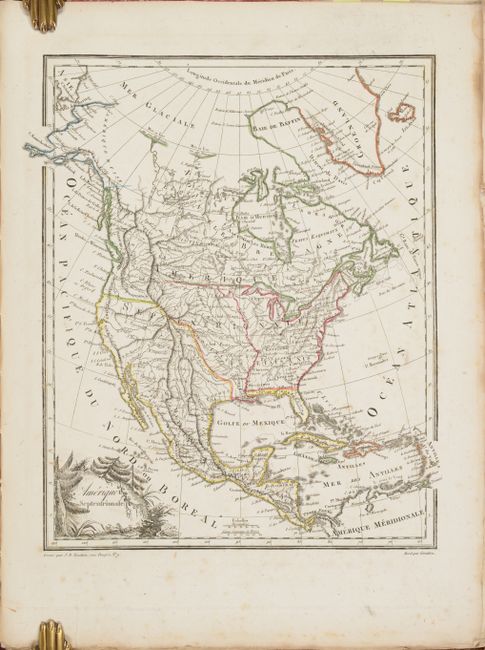
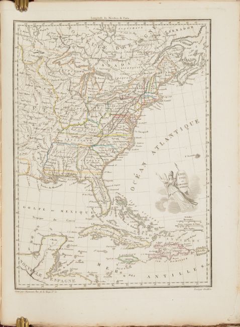
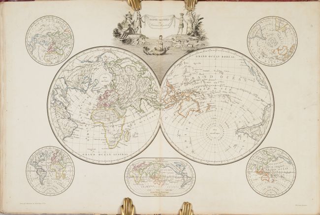
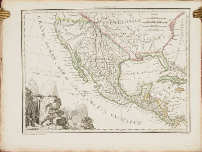
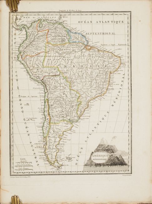
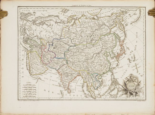
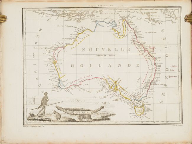
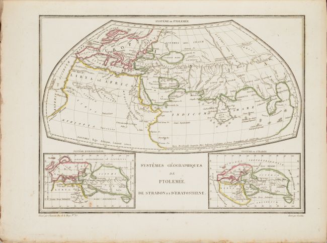
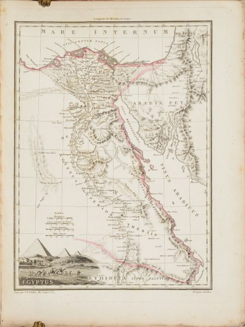
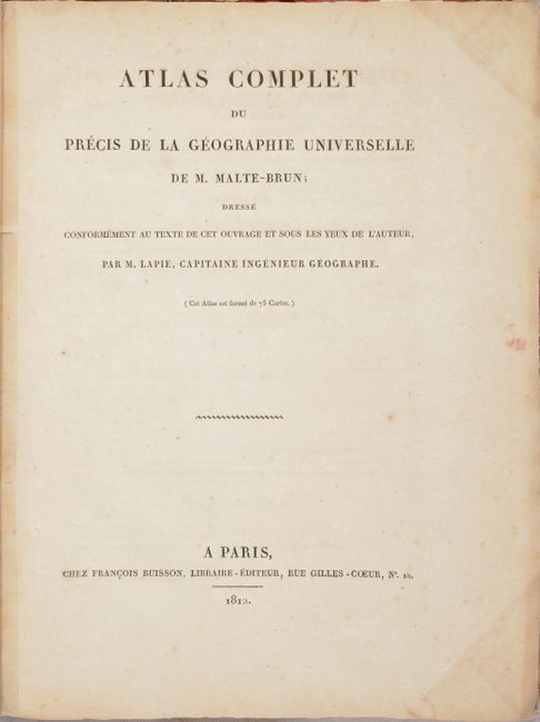
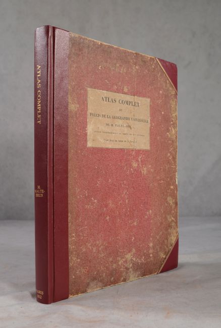
This is the complete first edition of this fabulous French atlas, featuring 75 maps by Pierre Lapie. The first 22 maps are historical, spanning from ancient history to Europe in 1789; the remaining maps focus on modern geography. The modern maps consist of the following: Europe (27); Asia (7); Oceania (a term coined by Malte-Brun) (4); Africa (5); and the Americas (7). There are three magnificent double-page world maps that divide the ancient and modern sections. Most of the maps are accompanied by a decorative and inventive title cartouche that reflects the history and culture of the land depicted. Of particular interest is the map of North America, Amerique Septentrionale, which incorporates information from the relatively recent Lewis and Clark expedition, as well as from Pike and Humboldt. The Louisiana Purchase is delineated, with the area that would become the state of Louisiana labeled Orleans. Hardbound with contemporary boards covered with pink paper and the original printed label on front cover. Rebound in quarter faux-leather with leather tips and gilt title on spine.
References: Phillips (Atlases) #4306; Rumsey #2631.
Condition: B+
Condition code is for the maps, which feature contemporary outline color. Most are in very good condition, with some light scattered foxing and minor soiling that is usually confined to the margins, and the occasional edge tear. Light scattered foxing appears in the text as well. Maps and text are uncut. Rebacked, with the original boards rubbed and worn.