Catalog Archive
Auction 185, Lot 627

"Terra Chanaan ad Abrahami Tempora, per Populos XI Item per Toparchias Idumeae...", de la Rue, Philippe
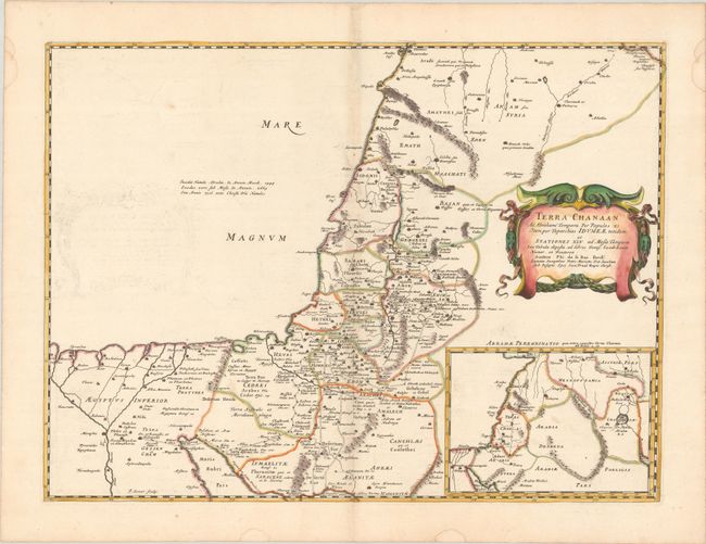
Subject: Holy Land

Period: 1651 (published)

Publication: La Terre Sainte en Six Cartes Geographiques…

Color: Hand Color

Size:
21.9 x 16.4 inches
55.6 x 41.7 cm
Download High Resolution Image
(or just click on image to launch the Zoom viewer)

This map shows the Holy Land from the time of Abraham up to the time of Moses. The region is divided into the provinces of the Twelve Tribes and extends as far west as the Nile delta. The inset extends the map further to the east, showing the native country of Abraham. Engraved by J. Somer.

References: Laor #415; Pastoureau, LA RUE [1].

Condition: B+

A dark impression with contemporary outline color in the map and later color in the cartouche, on a bright sheet with the watermarks of a large coat of arms and the symbol for the Society of Jesus. There is minor toning along the centerfold, light offsetting of the title cartouche, two small worm holes along the centerfold at bottom, and several small dampstains along the edges of the sheet.

Estimate: $240 - $300

Unsold

Closed on 11/17/2021

Archived