Catalog Archive
Auction 185, Lot 626

"Geographische Beschryvinge van t'Beloofde-Landt Canaan, Doorwandelt van Onsen Heere ende Salichmaecker Iesu Christo Neffens Syne Apostelen...", Visscher, Claes Janszoon
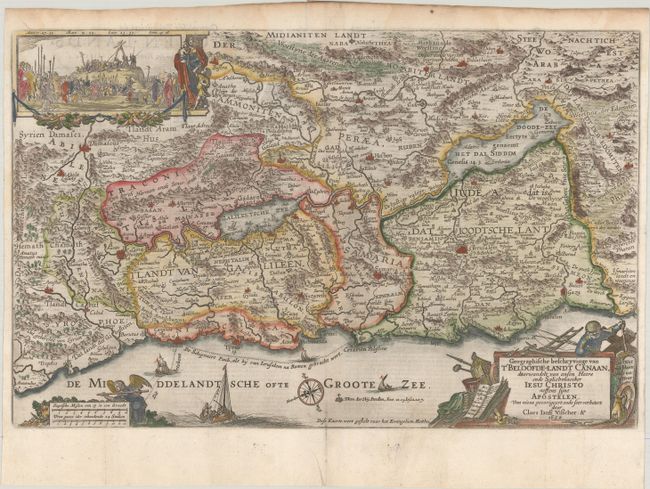
Subject: Holy Land

Period: 1650 (dated)

Publication:

Color: Hand Color

Size:
18.8 x 12 inches
47.8 x 30.5 cm
Download High Resolution Image
(or just click on image to launch the Zoom viewer)

This is a fine Bible map of the Holy Land with north oriented to the left. This is the elder Visscher's map of Canaan, richly engraved and decorated with a vignette of the crucifixion at upper left and a decorative title cartouche incorporating an old fisherman (the mark of Visscher). The sea is filled with fishing boats, the track of Apostle Paul's journey to Rome, a compass rose, and an angel embellishing the scale of miles. Dutch text on verso.

References: Laor #789; Poortman & Augusteijn #88.

Condition: A

A dark impression on a bright sheet with an intricate coat of arms watermark, issued folding and now flattened with light printer's ink residue, dampstaining along the top edge of the sheet, and a tear in the bottom blank margin.

Estimate: $240 - $300

Sold for: $180

Closed on 11/17/2021

Archived