Catalog Archive
Auction 185, Lot 568

"Illyricum Orientis in quo, Partes, II Moesia, et Thracia Provinciae XI. Moesia Prima, sive Superior, Praevalis Dardania...", Sanson/Mariette
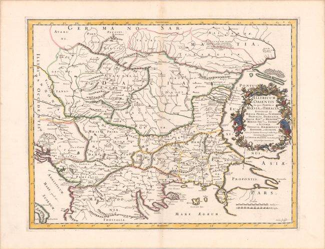
Subject: Balkans

Period: 1667 (published)

Publication: Cartes Generales de Toutes les Parties du Monde...

Color: Hand Color

Size:
20.8 x 16.3 inches
52.8 x 41.4 cm
Download High Resolution Image
(or just click on image to launch the Zoom viewer)

An attractive historical map of the area between the Black Sea and the Adriatic Sea. The map is filled with historical place names, three dimensional mountains, and the river systems in the area. The fine title cartouche is constructed of various symbols of war.

References: Pastoureau, SANSON V B [163].

Condition: B+

A dark impression with contemporary outline color in the map and later color in the cartouche, on a bright sheet with the watermarks of a large coat of arms and the symbol for the Society of Jesus, and very light toning along the centerfold.

Estimate: $240 - $300

Sold for: $180

Closed on 11/17/2021

Archived