Catalog Archive
Auction 185, Lot 565
"Le Grand Royaume de Hongrie ou Partie Septentrionale de la Turquie en Europe, Divisee par Grands Gouvernements, Suivant Ricant Anglois", Peeters, Jacques
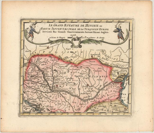
Subject: Southeastern Europe, Hungary
Period: 1692 (published)
Publication: L'Atlas en Abrege, ou Nouvelle Description du Monde
Color: Hand Color
Size:
6.1 x 5.3 inches
15.5 x 13.5 cm
Download High Resolution Image
(or just click on image to launch the Zoom viewer)
(or just click on image to launch the Zoom viewer)