Subject: London, England
Period: 1882 (dated)
Publication:
Color: Hand Color
Size:
29 x 18.9 inches
73.7 x 48 cm
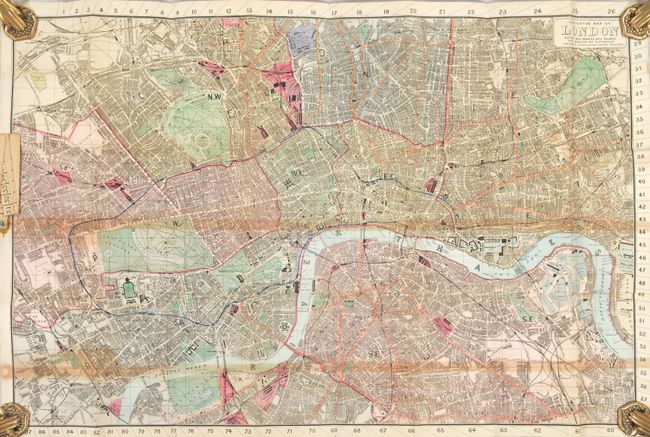
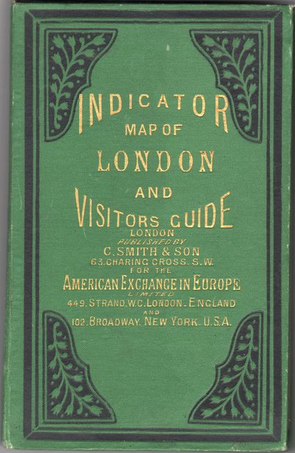
This novel pocket map includes a built-in cloth tape measure attached at left for measuring distances throughout the city in quarter mile segments. It spans from Kentish Town south to Camberwell and from Kensington Park east to the West India Docks. With the help of the in-depth street index, one can use the numbered tape measure and numbers on the map edge to navigate the city. Underground and electric railway routes are indicated in red, and bus and tram-car routes are shown in yellow. At center is a small purple stamp locating the American Exchange. The attached 53-page street index identifies churches, hotels, markets, monuments, museums, palaces, places of amusement, railway stations, theaters, and much more. Smith & Son published numerous editions of this map in the late 19th century and later by George Philip into the early 20th century. This example is linen-backed and folds into embossed green cloth covered boards with black decorative touches.
References:
Condition: B+
Issued folding and backed on linen with some toning mostly along the fold lines. Covers have minor wear.