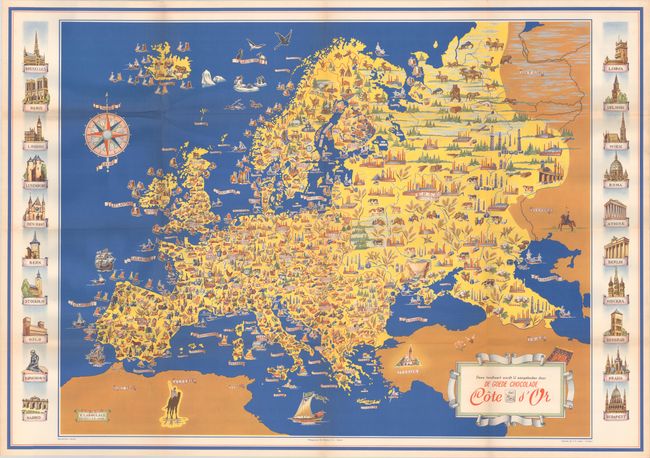
Subject: Europe
Period: 1951 (dated)
Publication:
Color: Printed Color
Size:
38.6 x 26.9 inches
98 x 68.3 cm
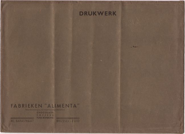
This pictorial map of Europe was issued by Belgian chocolatier Cote d'Or and focuses on food and food production. Each country is filled with tiny images of the types of food that are grown, produced, raised, or fished in the region, such as grapes, cheese, wheat, livestock, lobster, etc. The locations of factories throughout Europe are also identified. The map is flanked with vignettes of important buildings in 20 major cities in Europe. The map was created by F. Laboulais in Brussels, photoengraved by De Schutter in Anvers, and printed by S. A. Lityca in Turnhout. The map is accompanied by the original tissue insert and brown paper envelope in which it was issued.
References:
Condition: A
The map is clean and bright, issued folding with a few minor spots of foxing and a couple of extraneous creases. The original tissue is toned, and the envelope is lightly worn with extraneous creases.