Catalog Archive
Auction 185, Lot 367

"West Indies from the Latest Authorities", Guthrie, William

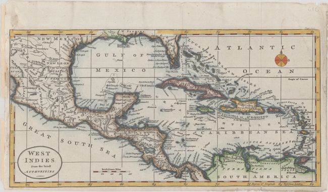
Subject: Gulf of Mexico & Caribbean

Period: 1790 (circa)

Publication: A New Geographical, Historical, and Commercial Grammar...

Color: Hand Color

Size:
13.6 x 6.9 inches
34.5 x 17.5 cm
Download High Resolution Image
(or just click on image to launch the Zoom viewer)

This attractive map covers the entire Caribbean Basin along with Florida and portions of Mexico, Central America and northern South America. Florida is divided between East & West, with East Florida shown having two mountain ranges. The tip of Louisiana just makes it onto the map, locating New Orleans. There is excellent detail along the coast, especially the numerous islands off of the Honduran and Yucatan coasts. Published in either the 1790 or 1792 edition of Guthrie's Grammar.

References: McCorkle (18th C. Geography Books) #169-20.

Condition: A

Issued folding and now flat with a tiny edge tear at top left that has been closed on verso with paper tape.

Estimate: $160 - $190

Sold for: $120

Closed on 11/17/2021

Archived