Subject: Yosemite, California
Period: 1930-38 (circa)
Publication:
Color:
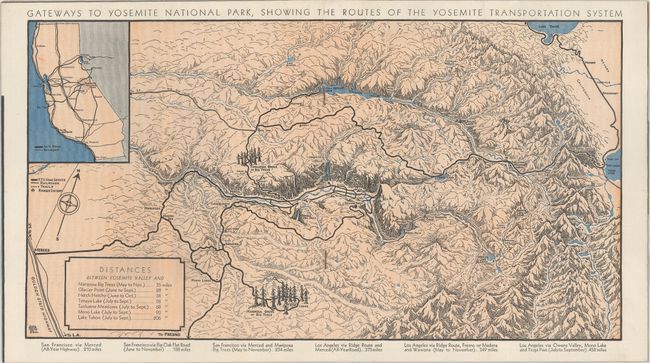
Three early Yosemite maps by Della Hoss, who lived in Yosemite for 13 years while her husband worked for the company that had the transportation concession in the park. Hoss was the sister-in-law of pictorial map legend Ruth Taylor White.
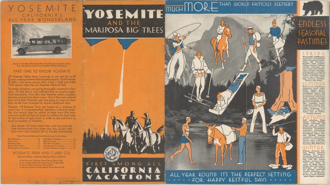
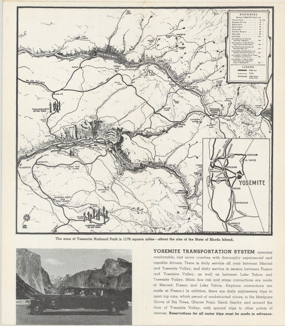
A. Gateways to Yosemite National Park, Showing the Routes of the Yosemite Transportation System, printed color, circa 1930 (15.0 x 8.1"). This map serves as the centerfold to a brochure with title "Yosemite and the Mariposa Big Trees First Among All California Vacations." It shows the rugged topography of the region and locates roads, trails, and the "Big Trees." Includes extensive information on lodging and attractions. Pictorial wrappers. Condition: Clean and bright with minor soiling to the wrappers. (A)
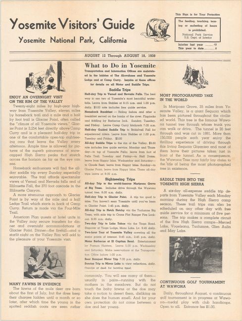
B. Map of Yosemite National Park, black & white, dated 1938 (10.3 x 7.7"). This small map was issued in the 4-page "Yosemite Visitors' Guide" for the week of August 12-18, 1938. The map locates roads, trails, and 46 points of interest with key at top left. Condition: Light toning along the fold lines. (B+)
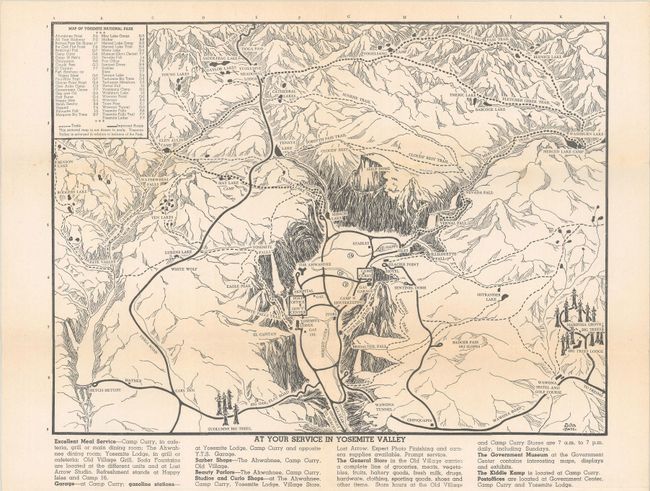
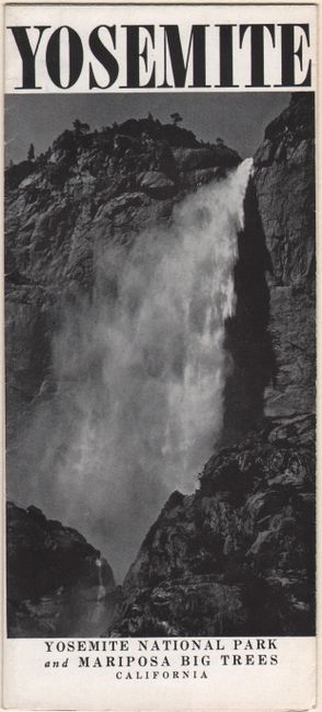
C. [Yosemite], black & white, dated 1938 (7.3 x 6.4"). This small map locates points of interest and depicts the roads and trails in the vicinity. It was issued in a brochure that opens up to dramatic photographs of Yosemite. Condition: Clean and bright. (A)
References:
Condition:
See description above. Issued folding.