Subject: Arizona
Period: 1901-05 (dated)
Publication:
Color: Printed Color
Size:
16.8 x 20.2 inches
42.7 x 51.3 cm
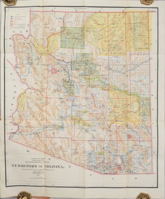
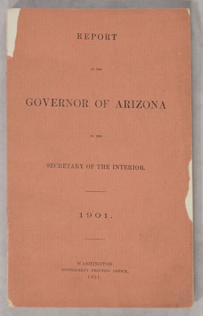
A. Territory of Arizona, dated 1901. A colorful and fascinating map with great detail issued eleven years before statehood. The extent of nine Indian reservations and at least three Military reservations, including Camp Apache, are clearly shown in different colors. Numerous confirmed and unconfirmed land claims are named and located. A huge Grand Canyon Forest Reserve is shown. The brown hachured mountain area and the blue waterways combine to provide great visual impact. Information includes watersheds, mountains, railroads, wagon roads, private claims, unsurveyed townships, etc. A beautiful example published while Harry King was the Chief of Drafting and the Hon. Binger Hermann was commissioner. Still bound in the 144-page Report of the Governor of Arizona with numerous illustrative plates. Octavo, printed paper wrappers. Condition: The folding map is fine. Text is mostly clean and bright and the paper wrappers are chipped along the edges.
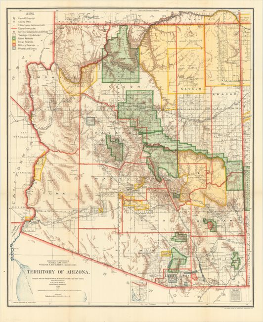
B. Territory of Arizona, dated 1905. An updated version of the map above with additional forest reserves and private land grants in the southeastern portion of the territory. Drawn by Daniel O'Hare and published under the direction of Frank Bond. Condition: Clean and bright, issued folding.
References:
Condition: A
See description above.