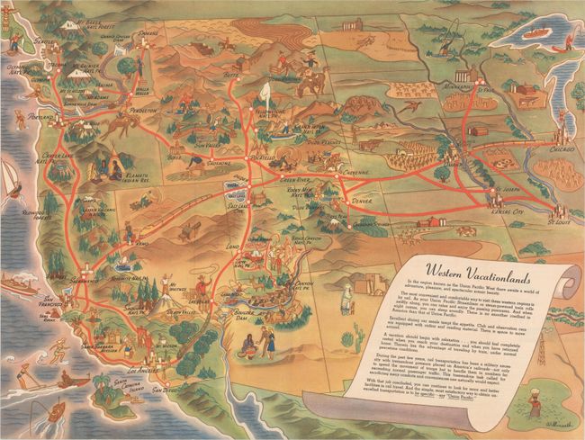
Subject: Western United States
Period: 1946 (dated)
Publication:
Color: Printed Color
Size:
23.9 x 18 inches
60.7 x 45.7 cm
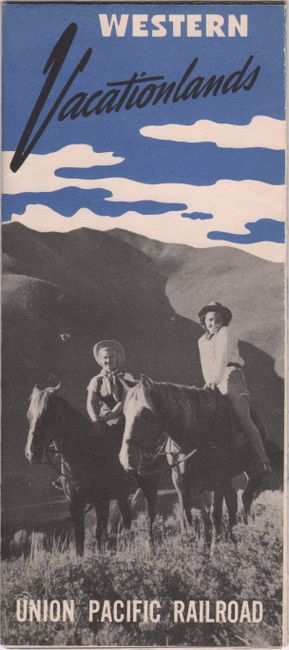
This tourist map was published by the Union Pacific Railroad to encourage people in the Midwest to travel west via rail. The railroad lines are indicated in bold red lines from Chicago, St. Louis and Minneapolis to all points west, reaching as far north as Seattle and as far south as San Diego. The map is filled with imagery of the sites, natural beauty, and activities of the west. A scroll at right explains that travel by rail is the most convenient, comfortable and relaxing way to travel "under normal peacetime conditions." Published just one year after the conclusion of World War II, in which railways were reserved primarily for military use, the Union Pacific Railroad was intent on encouraging Americans to resume railway travel. The map is signed by Willmarth, which could be for either Kenneth or William Willmarth, brothers who were both artists that created numerous works advertising travel to the west. The verso includes additional vignettes in blue and black with text describing all of the scenic attractions in the West.
References: Rumsey #11905.
Condition: A
A clean and bright example, issued folding with minor wear along the folds.