Subject: World
Period: 1844 (dated)
Publication:
Color: Printed Color
Size:
63.4 x 53.3 inches
161 x 135.4 cm
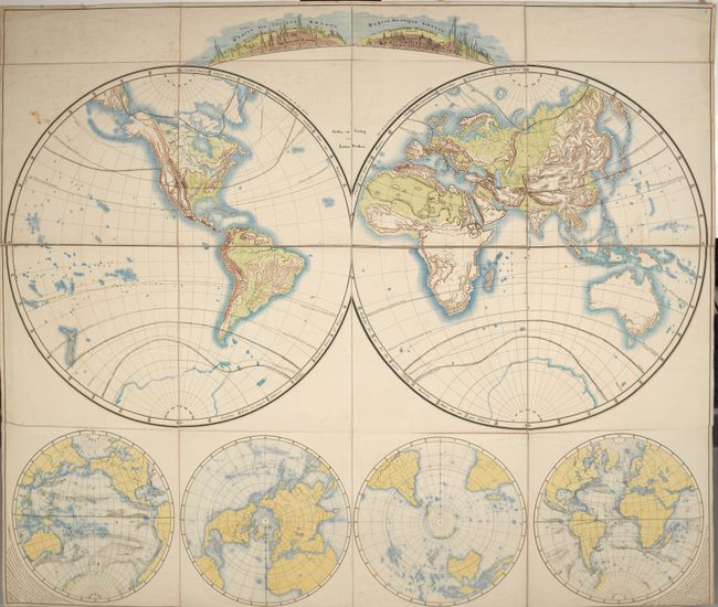
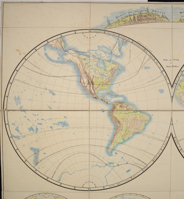
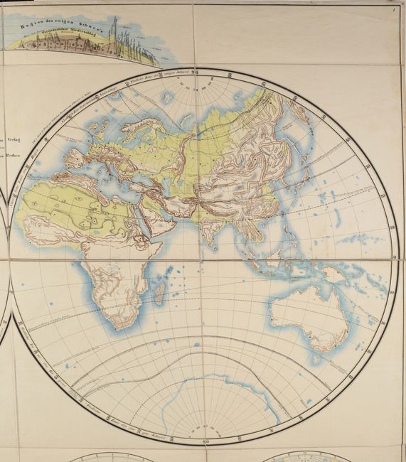
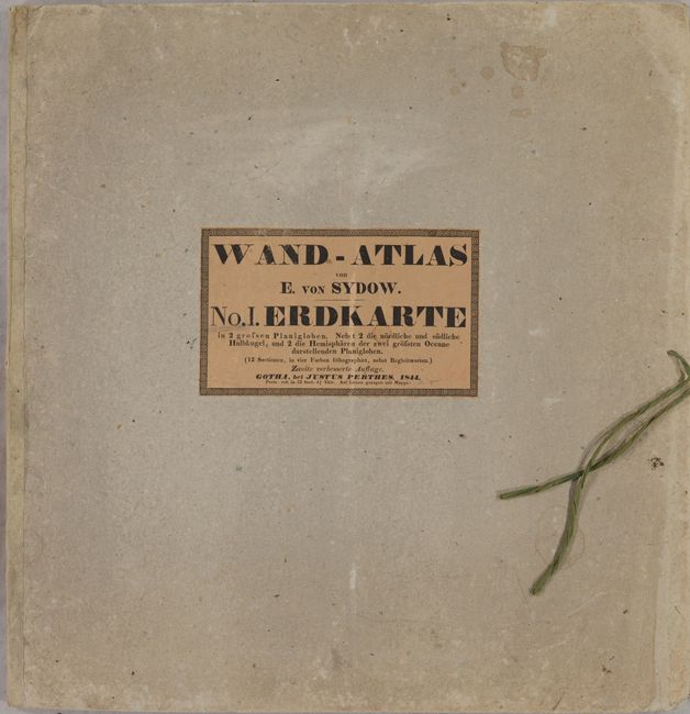
This mammoth "earth map" in two hemispheres was produced by Emil von Sydow and published by Justus Perthes. A visually pleasing lithograph, Sydow uses color to indicate both lowlands (green) and mountainous regions (brown). The larger river systems are well represented and islands are highlighted with small bursts of blue ink. Climate zones are shown with dashed lines and indicate the types of agriculture suitable for each region (wine, grains, bananas, etc.). Insets at bottom show ocean currents and the polar regions, while a three-dimensional comparative view of mountains is shown at top. Dissected into 12 panels and backed with linen. Folds into stiff paper boards with title on the front cover. Second edition. This map was intended for schools and was to be used in conjunction with an accompanying textbook (not present).
References:
Condition: B+
The map is mostly clean and bright with some light scattered foxing and minor stains. The stiff paper covers have light wear and minor soiling.