Catalog Archive
Auction 185, Lot 227

"Les Etats Unis de l'Amerique Septentrionale, Partie Occidentale", Bonne, Rigobert

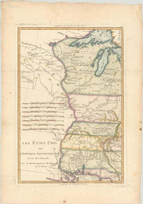
Subject: Central United States

Period: 1785 (circa)

Publication:

Color: Hand Color

Size:
9.3 x 13.6 inches
23.6 x 34.5 cm
Download High Resolution Image
(or just click on image to launch the Zoom viewer)

Fascinating, early map of the western portion of the brand-new United States, centered on the Mississippi River. The southern states' borders have been extended to the Mississippi. Early settlements, frontier forts, missions, mines, Indian villages, as well as some trails and portages are revealed in great detail. Seven distance scales fill the left of the map. While typically engraved by Andre, this example was engraved by Scattaglia, who also worked for Bonne.

References: Sellers & Van Ee # 794.

Condition: B+

Issued folding with light soiling, a few spots of foxing, and several minor dampstains along the edges of the sheet.

Estimate: $180 - $210

Sold for: $170

Closed on 11/17/2021

Archived