Catalog Archive
Auction 185, Lot 125

"America Settentrionale Disegnata Dopo i Viaggi di Lewis, Clarke, Parry e Franklin...", Tasso, G.

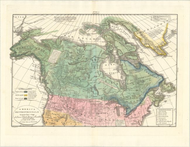
Subject: Canada & Northern United States

Period: 1832 (dated)

Publication:

Color: Hand Color

Size:
17.9 x 12.3 inches
45.5 x 31.2 cm
Download High Resolution Image
(or just click on image to launch the Zoom viewer)

This interesting map focuses on the explorations by Lewis and Clarke, William Parry, and John Franklin and gives good detail of the river systems and topography, with notations scattered throughout the map. The cartography is based on maps by Buchon and Le Sage, as credited in the title cartouche. There is practically no interior detail except in Canada, where there appears several fur trading forts. The British, Danish, and Russian possessions are color-coded, and the British possessions are further listed in a table at bottom right.

References:

Condition: A+

Full contemporary color on a bright sheet with a crescent-shaped man in the moon watermark.

Estimate: $400 - $475

Sold for: $200

Closed on 11/17/2021

Archived