Subject: References, Africa
Period: 2007 (published)
Publication:
Color: Printed Color
Size:
9.7 x 12.7 inches
24.6 x 32.3 cm
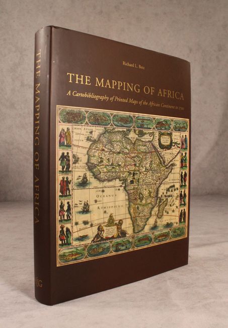
This excellent cartobibliography by Richard L. Betz covers the earliest maps of Africa, spanning from Antonio Francanzano da Montalbodo's 1508 map of the continent to Guillaume Delisle's landmark map from 1700. The book lists 174 maps of Africa, each one illustrated and accompanied by an in-depth description with comprehensive coverage of different states and variants. It features a thorough historical overview on the mapping of Africa with information about indigenous mapmaking, Arab and Chinese cartography of the continent, the early explorations of the Portuguese, and the first Ptolemaic maps to cover the area. Betz also includes useful appendices on lost maps and important firsts on maps of Africa. This stands with Norwich's Maps of Africa as the essential reference on the continent. 540 pp. Hardbound in brown cloth with gilt titles on cover and spine and an illustrated dust jacket. Signed by the author.
References:
Condition: A+
Like new.