Subject: References
Period: 1965-93 (published)
Publication:
Color: Printed Color
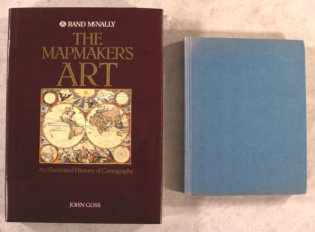
A. The Mapmaker's Art - An Illustrated History of Cartography, by John Goss, published 1993 (10.9 x 14.9"). With over 380 classic and exquisite illustrations, of which 300 are in color (and some foldouts), this book examines every aspect of cartography from the coastal charts carved on driftwood and bone by the Inuit people of Greenland to the trigonometrical methods employed by the Ordnance Survey in 19th century Britain. It offers a complete guide to more than 3,000 years of cartography. Hardbound in black buckram with title in gold on spine, dust jacket. 376 pp. One of the most beautiful books on maps ever produced. Condition: Minor shelf wear, otherwise fine. (A)
B. Decorative Printed Maps of the 15th to 18th Centuries, by R.A. Skelton, published 1965 (8.8 x 11.3"). Second edition of this revised update of Old Decorative Maps and Charts by A.L. Humphreys. Mr. Skelton was the Superintendent of the Map Room at the British Museum when he published this work. 84 images in color and b/w, 80 text pages. Hard bound in blue cloth, titled in gilt on spine. Condition: Text block is starting to crack with minor toning along the edges. Covers have light shelf wear and a touch of sunning on the spine. (B+)
References:
Condition:
See description above.