Subject: Atlases
Period: 1864 (published)
Publication:
Color: Hand Color
Size:
12 x 14.8 inches
30.5 x 37.6 cm
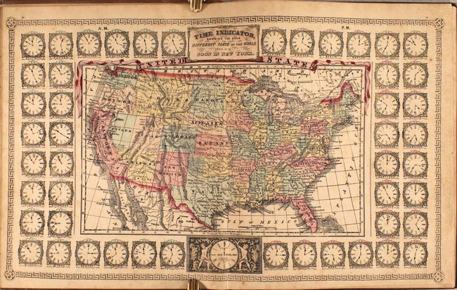
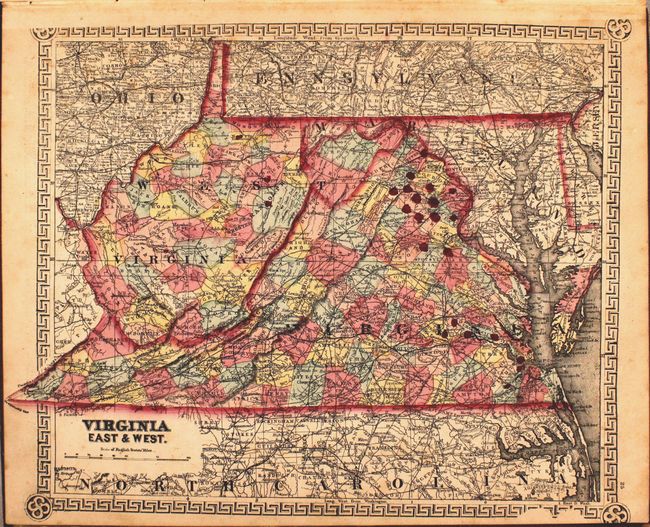
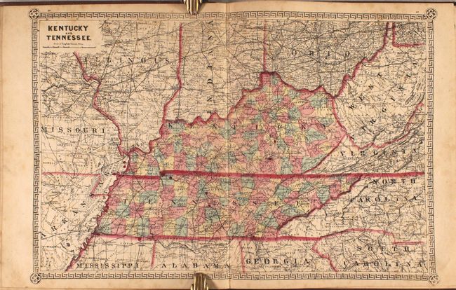
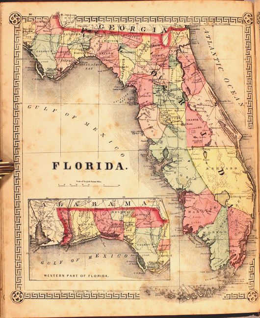
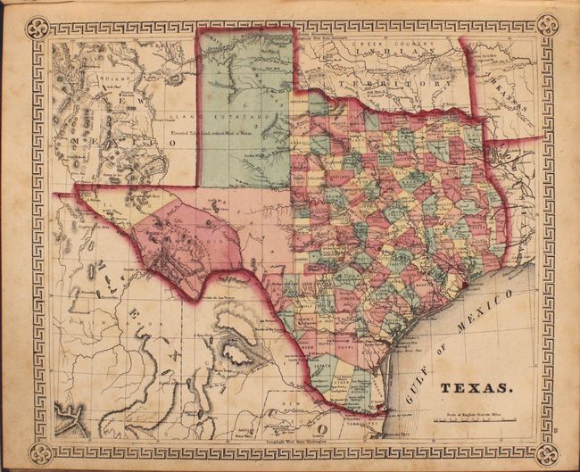
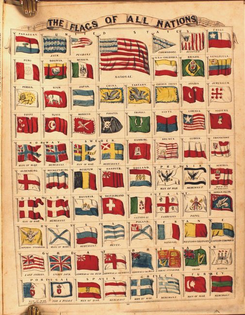
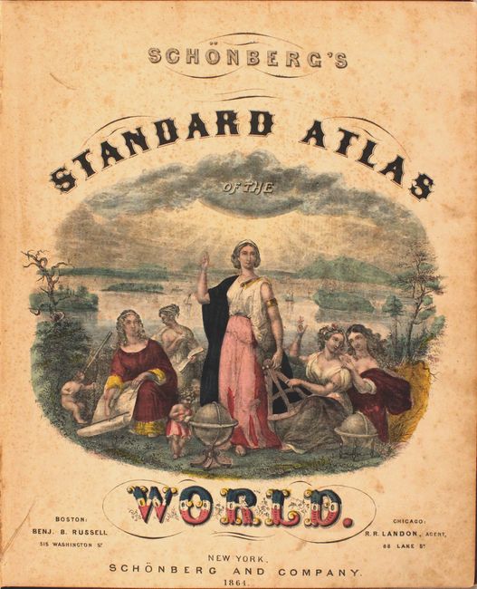
This scarce Civil War era atlas is complete with 54 single-page and 2 double-page maps. 31 of the maps relate to the Americas, including nice single-page maps of Florida, Texas, and California and the Western Territories. Of particular interest is the double-page map of United States that is surrounded by 48 clocks showing the times around the world when it is noon in New York. Cartographically, the map shows a large Idaho Territory that includes present-day Wyoming, and Arizona Territory includes the southern tip of Nevada. The single-page map of Virginia is further titled "East & West" due to the recent secession of West Virginia in 1863, and erroneously includes Pendleton County along the border in Virginia. This map along with several others including Kentucky, Tennessee, North Carolina, and Missouri locate Civil War battle sites with small red dots. Additional plates include a comparative chart of mountains/rivers, flags of various nations, and an elegant title page with female depictions of knowledge and geography. Includes 4 pages of advertisements for New York City insurance companies at the rear of the volume. Hardbound in original brown cloth boards with gilt title on the front cover.
References:
Condition: B
The maps are good to very good with light toning and scattered foxing. Hinges are starting and the boards are worn and sunned. Spine is heavily chipped.