Subject: Atlases
Period: 1864 (published)
Publication:
Color: Hand Color
Size:
12.8 x 15.8 inches
32.5 x 40.1 cm
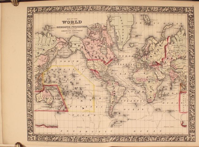
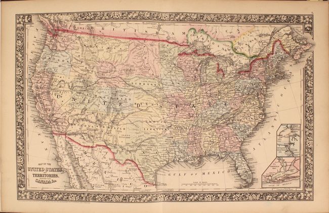
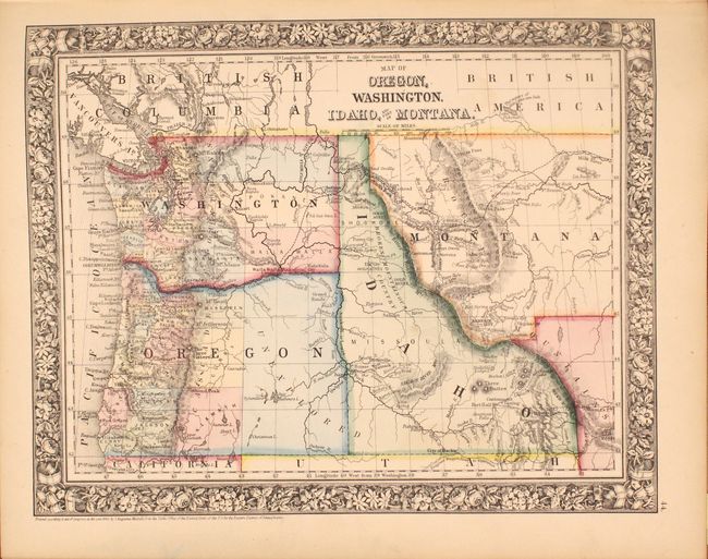
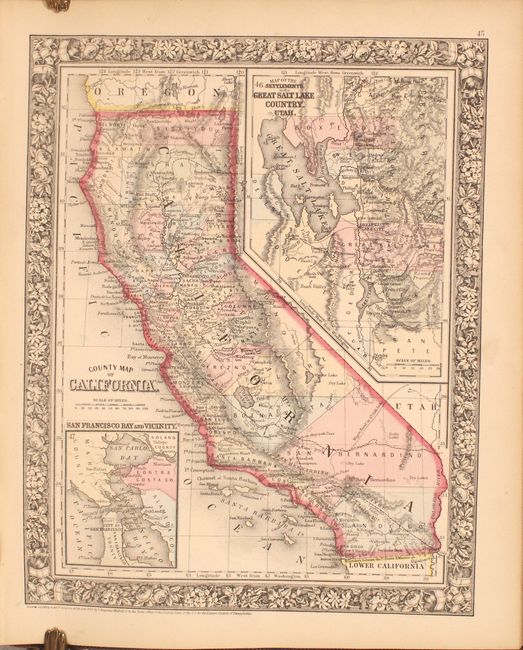
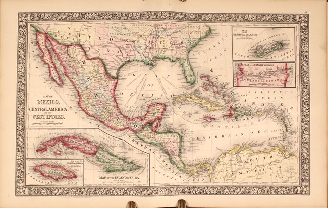
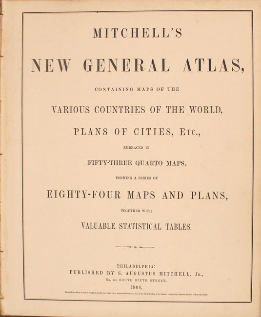
This is a nice example of Mitchell's world atlas produced during the final full year of the Civil War. It is complete with 84 maps and plans on 53 sheets, each surrounded by Mitchell's signature floral border. There are 28 map sheets related to the United States featuring 38 individual states and territories, regions and city plans. There are two world maps - one hemispheric and the other drawn on Mercator's Projection.
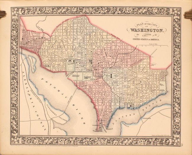
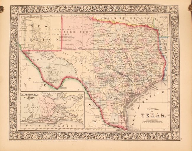
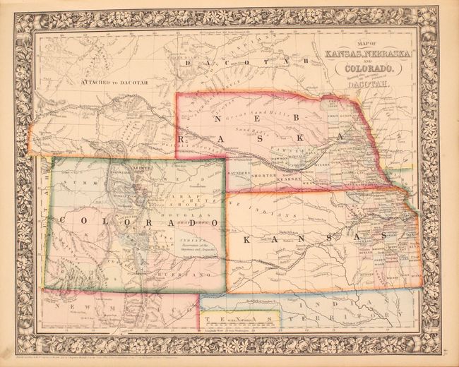
The map of Texas shows county development to 100° longitude with the large regions of El Paso, Presidio and the Bexar Territory further west. The Staked Plain is now called Young Territory. The Map of Kansas, Nebraska and Colorado Showing also the Eastern portion of Idaho locates the Gold Region surrounding Denver City. The Pony Express route is delineated on the map of the United States as are numerous routes of exploration, important trails including the Santa Fe, numerous wagon roads, the Overland Mail Route to California, and early railroads. This 1864 edition did not include the separate map of Arizona and New Mexico, however on the U.S. map the southern tip of Nevada is contained as part of the Territory of Arizona, and Utah encroaches a full degree of into Nevada. Includes full-page plans of the cities of Boston, New York, Philadelphia, Baltimore, Washington, New Orleans and Cincinnati. All maps carry the 1860 copyright date.
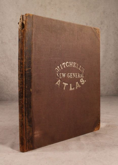
Contents include Title page, List of Maps, maps and plans are followed by 31 pages of text: List of Post Offices in the United States, Population of the United States by the Census of 1850 and 1860, List of Post Offices in Canada, Table of Population, Governments. &C., Table of Distances, Mountains of the World, and Rivers of the World. Hardbound in quarter leather with tips over brown cloth boards with gilt title on the front cover.
References:
Condition: A
Condition code is for the maps, which are clean, bright and near fine with a hint of pleasant light toning. Contents are somewhat loose and the front hinge is starting. Covers have average wear with bumped corners and the spine is chipped at top.