Subject: Central Australia
Period: 1891 (published)
Publication:
Color: Black & White
Size:
24.4 x 13.8 inches
62 x 35.1 cm
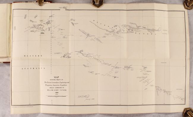
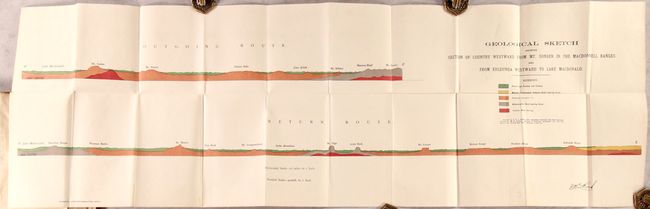
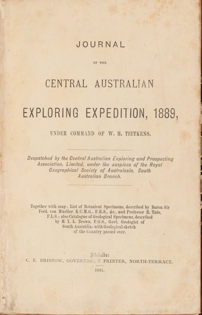
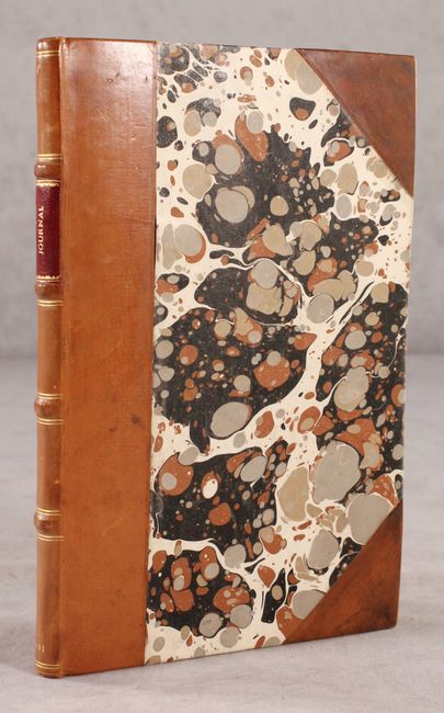
This 84-page report describes William Henry Tietkens expedition in the Northern Territory. His mission was to explore the Lake Amadeus district for possible settlement and to determine if there were any reliable routes to the northern coast. He began his trek in Alice Springs in March 1889 and returned to the telegraph line four months later at Charlotte Waters. While he discovered no habitable land, he reached and named Lake MacDonald, the Kintore Range and Mount Rennie. He also defined the western border of Lake Amadeus. Included with the report is the map (24.4 x 13.8") showing his route and includes camp sites, springs, mountains, and copious terrain notations. The volume is further illustrated with the Geological Sketch Showing Section of Country Westward from Mt. Sonder in the MacDonnell Ranges and from Erldunda Westward to Lake MacDonald (41.5 x 13.3"). Following this expedition, Tietkens was elected a fellow with the Royal Geographical Society. Octavo, rebound in faux quarter leather with tips over marbled boards.
References:
Condition: B+
The map and profile have been backed with tissue and are very good. Text is mostly clean with some scattered foxing in the first few and last few pages. Modern binding is near fine with some light shelf wear.