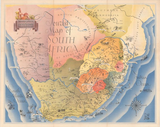
Subject: Southern Africa
Period: 1937 (dated)
Publication:
Color: Printed Color
Size:
25.8 x 20.5 inches
65.5 x 52.1 cm
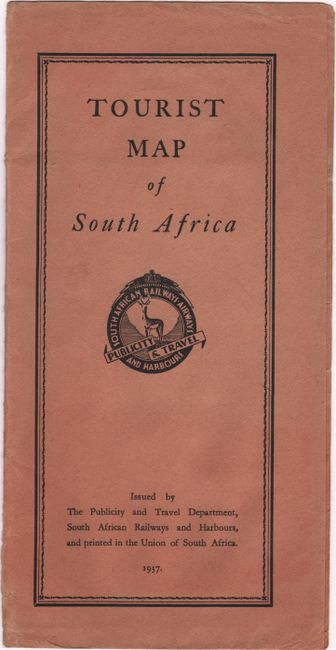
This charming tourist map of South Africa was created by Ernest Ullmann for the Publicity and Travel Department in the Union of South Africa. The modes of travel are a focus on this map, with the railways and harbors depicted pictorially with miniature trains and cruise ships, while a number of biplanes fly over the land. The various regions in South Africa are delineated, with important towns and tourist sites noted in each. Images of native animals, people, and natural sites fill the map. On verso is an alphabetical guide to South Africa, covering topics from the Addo Elephant National Park to Zululand. The map is accompanied by the original brown paper wrappers, however is no longer attached.
References: Rumsey #12468.
Condition: B+
A bright and clean example, issued folding and now flattened and backed in thin, archival tissue to repair some tiny holes at fold intersections. There is some light wear along the folds and and a few small spots of soiling. The paper wrappers are a bit faded and stained.