Catalog Archive
Auction 184, Lot 702

"Chart Showing the Track of the Flagships of the U.S. Japan Expedition to the Eastd. of the Cape of Good Hope 1853 & 1854",

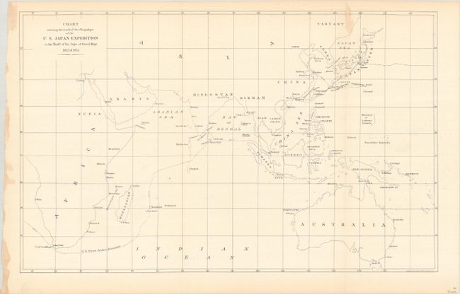
Subject: Indian Ocean

Period: 1857 (circa)

Publication:

Color: Black & White

Size:
16.4 x 10.3 inches
41.7 x 26.2 cm
Download High Resolution Image
(or just click on image to launch the Zoom viewer)

This chart tracks the course of Commodore Matthew Calbraith Perry on his 1852-53 expedition to Japan. It spans from southern Africa to east of Australia, covering the whole of the Indian Ocean. Perry's ship the Mississippi is specifically noted, and its course is traced from around the southern tip of Africa, through the Singapore Strait, and up the coast of eastern Asia to Japan. A few towns and cities are named along the coastlines, but for the most part the interiors of the continents are left blank. Numerous small islands are identified. Lithography by Ackerman.

References:

Condition: B+

Issued folding with a bit of excess paper along the top right fold.

Estimate: $100 - $130

Sold for: $110

Closed on 9/15/2021

Archived