Catalog Archive
Auction 184, Lot 608

"Romani Imperii qua Oriens est Descriptio Geographica", Sanson/Mariette

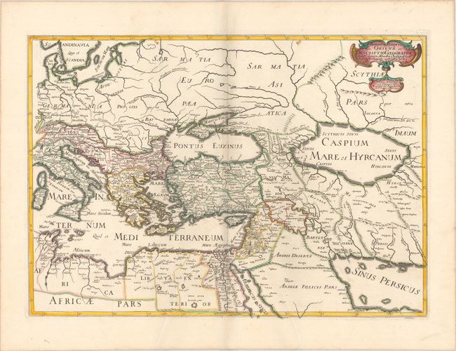
Subject: Eastern Mediterranean & Middle East

Period: 1637 (dated)

Publication: Cartes Generales de Toutes les Parties du Monde…

Color: Hand Color

Size:
22 x 15.6 inches
55.9 x 39.6 cm
Download High Resolution Image
(or just click on image to launch the Zoom viewer)

This handsome map covers the eastern part of the Roman Empire. It extends from Corsica and Sardinia through the Caspian Sea and the Persian Gulf. The map is well engraved in Sanson's scientific style and embellished only with a small title cartouche. Dated 1637 but published in 1667.

References: Pastoureau, SANSON V A [103].

Condition: A

Contemporary outline color in the map with later color in the cartouche, on a bright sheet of watermarked paper. There are some extraneous creases at bottom, minor soiling, and two tiny worm tracks in the image at top center.

Estimate: $190 - $220

Sold for: $140

Closed on 9/15/2021

Archived