Subject: Balkans
Period: 1683-97 (circa)
Publication:
Color: Hand Color
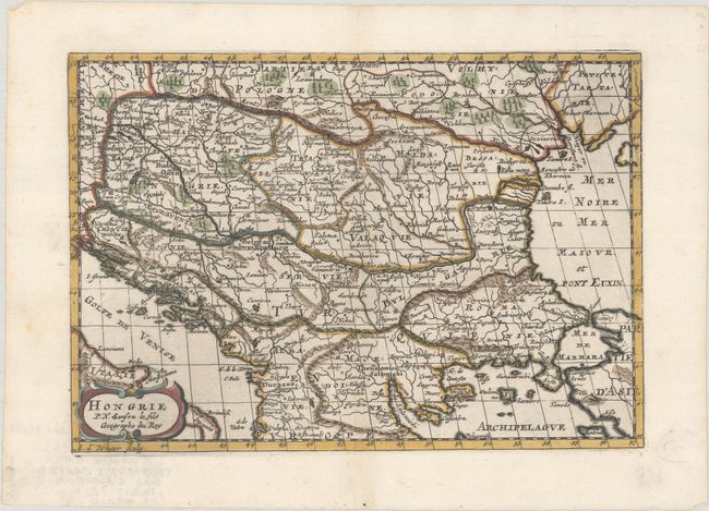
A. Hongrie, by Nicolas Sanson, from L'Europe en Plusieurs Cartes..., circa 1683 (10.0 x 6.9"). This small map covers southeastern Europe from Vienna to the Black Sea and from southern Poland to Greece. It shows the political divisions, major topography, cities, and towns. Adorned with a strapwork title cartouche. Engraved by A. d'Winter. Reference: Pastoureau, SANSON VII F [11]. Condition: A nice impression with a few minor printer's creases at bottom left.
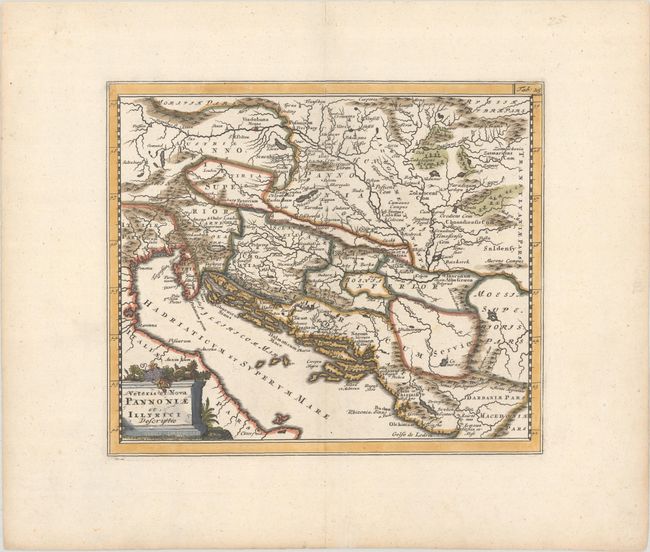
B. Veteris et Nova Pannoniae et Illyrici Descriptio, by Philipp Cluver, from Introductio in Universam Geographicam, published 1697 (9.3 x 8.0"). Attractive historical map of the Dalmatian coast from Italy to Greece. The map is based on Ortelius' map of the same title, which was based on Gastaldi's map of South East Europe (1560) and other information from ancient sources. Adorned with a classical title cartouche topped with colorful fruit.
Cluver's Introductio in Universam Geographicam was a popular atlas, appearing in over 45 editions during a 100-year period. The first edition was published without maps in the 1620s, and the first edition to include maps was published circa 1641. The various editions were published in different cities throughout Europe, including Amsterdam, Nuremberg, and London. This map is from an Amsterdam edition published by Jan Wolters. Reference: Shirley (BL Atlases) T.CLUV-8a #23. Condition: A crisp impression on paper with a large coat of arms watermark and ample margins.
References:
Condition: A
See description above.