Catalog Archive
Auction 184, Lot 412

"Kaart van het Noordlyk Gedeelte van Bresil", Bachiene, Willem Albert

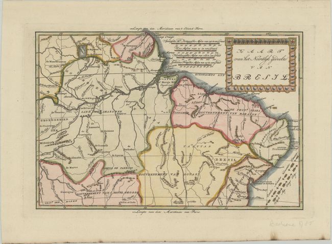
Subject: Northern Brazil

Period: 1785 (circa)

Publication: Atlas, tot Opheldering der Hedendaagsche Historie

Color: Hand Color

Size:
12.5 x 8.4 inches
31.8 x 21.3 cm
Download High Resolution Image
(or just click on image to launch the Zoom viewer)

This uncommon map covers northern Brazil and was published in a scarce Dutch edition. The map was based on the cartography of Emanuel Bowen. The directions of the trade winds are shown with arrows naming the months. A small remnant of the legendary Meir Parime is located north of the Amazon River. There is very nice detail of the river systems, mines, forts, missions, and villages. A bold title cartouche decorates the map.

References: Shirley (BL Atlases) T.BACH-3a.

Condition: A

A crisp impression on a clean, bright sheet. There are minor burn marks along the bottom edge of the sheet.

Estimate: $160 - $190

Unsold

Closed on 9/15/2021

Archived