Subject: Yellowstone, Wyoming, Geology
Period: 1904 (published)
Publication:
Color: Printed Color
Size:
18.9 x 22 inches
48 x 55.9 cm
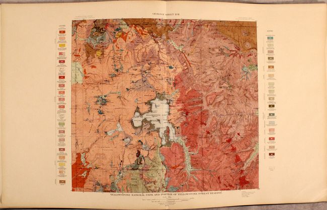
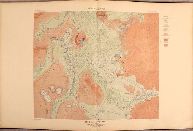
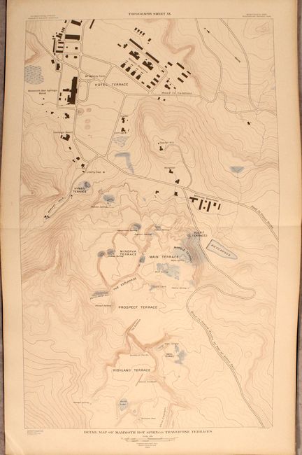
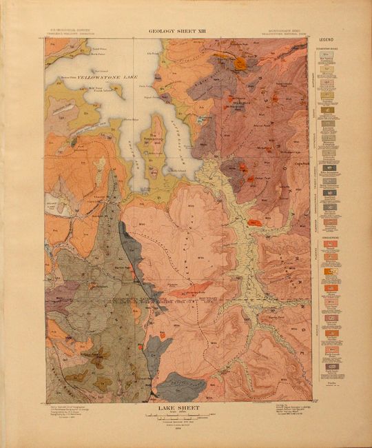
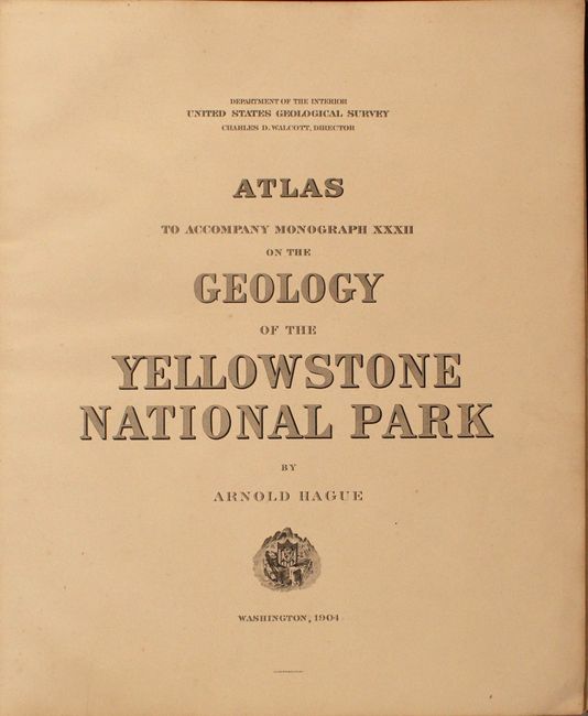
Mapped in the field by Arnold Hague and printed by Julius Bien, this atlas of Yellowstone National Park features a series of topographic maps each paired with its richly detailed, color lithography geological counterpart. This attractive example of an early geological atlas contains 17 single-page, and 7 double-page maps. The full list includes:
Gallatin Sheet, Topography
Shoshone Sheet, Topography
Canyon Sheet, Topography
Lake Sheet, Topography
Crandall Sheet, Topography
Ishawooa Sheet, Topography
Gallatin Sheet, Geology
Shoshone Sheet, Geology
Canyon Sheet, Geology
Lake Sheet, Geology
Crandall Sheet, Geology
Ishawooa Sheet, Geology
Yellowstone National Park and Portion of Yellowstone Forest Reserve, Topography
Yellowstone National Park and Portion of Yellowstone Forest Reserve, Geology
Mammoth Hot Springs and Vicinity, Topography
Mammoth Hot Springs and Vicinity, Geology
Mammoth Hot Springs, Travertine Terraces, Detailed Map
Norris Geyser Basin, Geology
Firehole Geyser Basin, Geology
Excelsior Geyser Basin
Upper Geyser Basin, Geology
Shoshone Geyser Basin, Geology
Shores of Yellowstone Lake, Geology
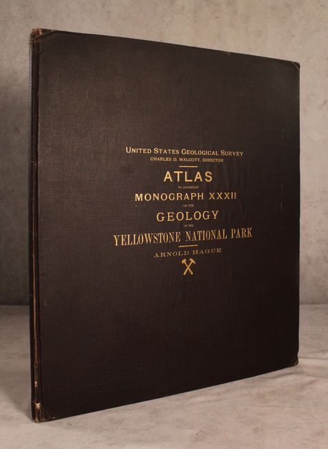
Hardbound in brown cloth with gilt title on the front cover. Elephant folio. Comprised of a title page, table of contents, a legend detailing the topography and geology of Yellowstone, and maps.
References:
Condition: A
Maps are near fine with a hint of pleasant toning. Front endpapers have a long vertical crease and there is a small tear closed with archival tape. Covers are in excellent condition with bumped corners and a little wear at the spine ends.