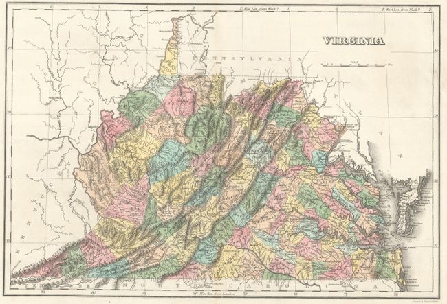
Subject: Virginia
Period: 1827 (circa)
Publication: A Complete Historical, Chronological, and Geographical American Atlas...
Color: Hand Color
Size:
17.9 x 12.2 inches
45.5 x 31 cm
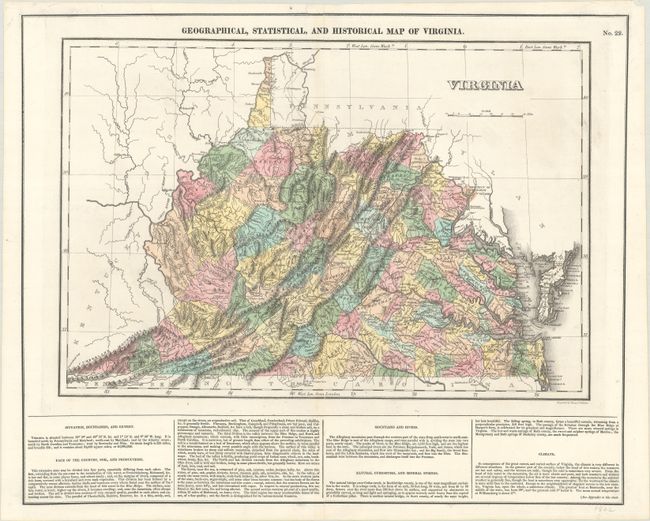
This map is on a full folio sheet (21.9 x 17.6") with English text below giving a brief description of the state’s boundaries, mountains and rivers, climate and "natural curiosities." Delineated by county, the map is filled with detail of cities and towns, wagon roads, drainage and topography. County development is current to 1824 with the addition of Logan in the southern portion of present-day West Virginia. Several battle sites in the Tidewater region including Jamestown, Yorktown and Norfolk are depicted with small flags. Engraved by Young & Delleker.
References: Phillips (Maps) p. 986.
Condition: A
On a clean bright sheet with a small fold separation and short tear at top that have been professionally repaired on verso.