Catalog Archive
Auction 184, Lot 326

"The State of North Carolina from the Best Authorities", Reid, John

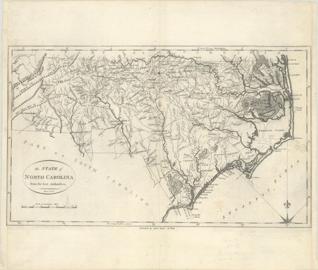
Subject: North Carolina

Period: 1796 (circa)

Publication: The American Atlas

Color: Black & White

Size:
18.4 x 10.9 inches
46.7 x 27.7 cm
Download High Resolution Image
(or just click on image to launch the Zoom viewer)

This early map of the state locates wagon roads, settlements, rivers and mountains, as well as many swampy areas including the Great Dismal Swamp, Alligator Swamp, and the Great Green Swamp. Counties are named but the borders are not delineated. The area around present-day Forsyth County is identified with a dotted line, showing the boundaries of the Moravian Community of Wachovia. This is the first state of the map. Engraved by Benjamin Tanner and published in Reid's' American Atlas.

References: Wheat & Brun #587; Phillips (Atlases) #1216-16.

Condition: B+

A crisp impression on a bright sheet that has been remargined at left and right.

Estimate: $550 - $700

Sold for: $400

Closed on 9/15/2021

Archived