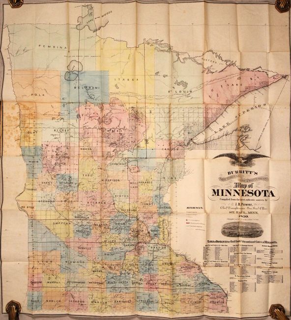
Subject: Minnesota
Period: 1870 (dated)
Publication:
Color: Hand Color
Size:
30.9 x 33.2 inches
78.5 x 84.3 cm
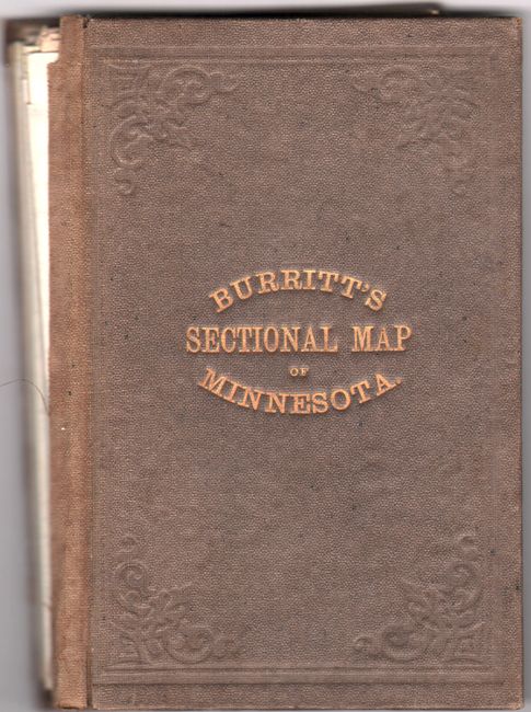
This early pocket map of Minnesota was compiled by J.B. Power and printed by Rice & Reed in St. Paul. Development is confined primarily to the southern half of the state with a legend locating U.S. Land Offices, Land Districts, and both proposed and completed railroads. The northern section of the state is completely unsurveyed. The map is decorated by an illustration of a train below the title along with a “Table of Distances." This is the rare 1870 edition that was promptly superseded by an 1871 edition due to changes that were occurring so quickly at the time due to rapid settlement. There are no past sales records for this 1870 issue and no institutional examples located on OCLC.
References:
Condition: B
Issued folding on a mostly clean sheet with a number of small splits at the fold junctions and a 2.25" separation that has been closed on verso with archival tape. There is light foxing along the left sheet edge and the front board is detached.