Catalog Archive
Auction 184, Lot 294

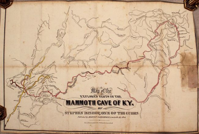
Remarkable Slave’s Map of Mammoth Cave

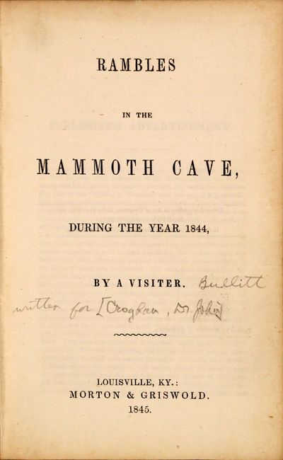
"Map of the Explored Parts of Mammoth Cave of KY [in] Rambles in Mammoth Cave, During the Year 1844, by a Visiter",

Subject: Mammoth Cave, Kentucky

Period: 1845 (published)

Publication:

Color: Hand Color

Size:
20 x 13.5 inches
50.8 x 34.3 cm
Download High Resolution Image
(or just click on image to launch the Zoom viewer)

Stephen Bishop, a self-educated slave and guide, explored and mapped Mammoth Cave, the longest cave network in the world. He was an aggressive explorer, and his map proved to be remarkably accurate. It shows the elaborate and interwoven cave system with some hand-coloring of various routes or avenues and identifies the "River Styx", "Purgatory", "Indian Graves", and many more. Bishop's map served as the frontispiece to a 101-page volume written "by a visitor" and includes an additional 6 single-page lithographs featuring "Entrance to the Gothic Avenue" and "Chief City or Temple." The volume also contains an "Interesting Facts" section that states "accidents of no kind have ever occurred in the Mammoth Cave" and "no impure air exists in any part of the Cave." 12mo. Hardbound in quarter leather over cloth boards with gilt title on the front cover. Published by Morton & Griswold.

It was highly unusual at the time for a slave to be credited for work such as this map. For an in-depth article on Bishop, click here.

References:

Condition:

Issued folding with some light scattered foxing and trimmed to the neatline at top, right and bottom. There is an old paper repair at right with some associated staining and a small manuscript note at center dated 1866. Text is clean and tight with a former owner's stamp on the front endpaper. Covers have light wear. Map (C+) / Rest of Volume (B+)

Estimate: $275 - $350

Sold for: $475

Closed on 9/15/2021

Archived