Catalog Archive
Auction 184, Lot 292

NO RESERVE

"Sketch of the Public Surveys in Iowa Territory", General Land Office
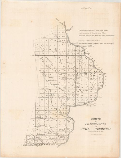
Subject: Iowa

Period: 1839 (circa)

Publication: S. 27th Con. 2d. Ses.

Color: Black & White

Size:
7 x 9.6 inches
17.8 x 24.4 cm
Download High Resolution Image
(or just click on image to launch the Zoom viewer)

This GLO map shows the surveying progress in the new Iowa Territory, and is the first GLO map to name Iowa Territory, which had previously been part of Wisconsin Territory. The region is almost completely surveyed with the exception of part of the cession to the west. Iowa would experience population growth from 43,000 in 1840 (as a territory) to 193,000 in 1850 (as a state) and these surveys were the first steps for opening settlement. Engraved by W. J. Stone.

References:

Condition: B+

Issued folding with very light offsetting, soiling and a few spots of foxing.

Estimate: $70 - $90

Sold for: $2

Closed on 9/15/2021

Archived