Subject: World, Pennsylvania, Coal
Period: 1848 (published)
Publication:
Color: Hand Color
Size:
32.2 x 14 inches
81.8 x 35.6 cm
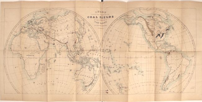
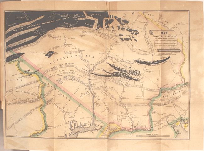
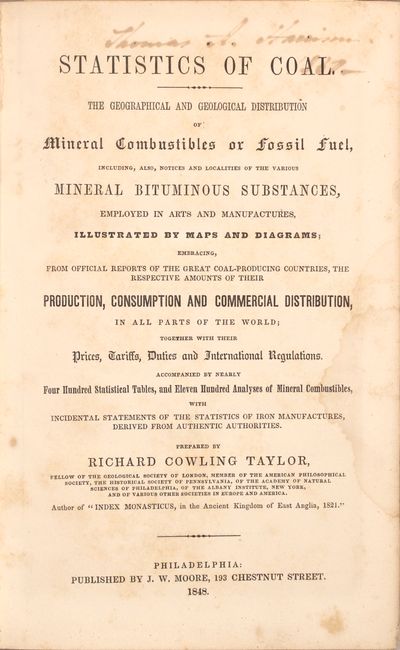
This detailed volume was written by Richard Cowling Taylor, a British born American geologist, who has been called the “founder of Appalachian coal geology.” The book contains 5 folding maps including a large frontispiece world map (32.2" x 14") revealing through color the "Basins or Deposits of True Coal" and the "Deposits of Brown Coal or Lignite." While the exhaustive study covers the entire world, the emphasis is on the United States and Pennsylvania where Taylor did extensive work. During Taylor's time there, coal production in the U.S. was increasing from 356 tons in 1820 to 3 million tons in 1852 as coal replaced wood as a fuel. Related maps of interest include Map of the Group of Anthracite Basins in Pennsylvania (11.7 x 8.2") and Map Illustrative of the Statistics of the Coal Trade of Pennsylvania (15.3 x 10.4"). Octavo, 754 pages. First edition. Rebound in black cloth with gilt-stamped title label on spine.
References: Marcou & Marcou #2, 121, 275 & 276.
Condition: B
The maps are all toned and stained but have no tears or separations. Text has light scattered foxing, and modern binding is near fine.