Catalog Archive
Auction 184, Lot 248

"Geological Map of the Western Part of the Plateau Province", Dutton, Clarence Edward

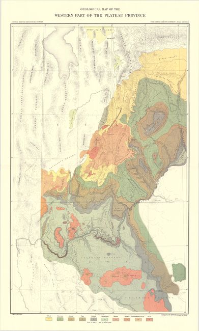
Subject: Northern Arizona, Southern Utah, Grand Canyon

Period: 1882 (published)

Publication:

Color: Printed Color

Size:
17.8 x 28.8 inches
45.2 x 73.2 cm
Download High Resolution Image
(or just click on image to launch the Zoom viewer)

This map was issued in Dutton's Atlas to Accompany the Monograph on the Tertiary History of the Grand Canon District - one of the most important works on the region ever produced. It covers the region from the Great Salt Lake to the Colorado Plateau with the Grand Canyon roughly at center. The map colorfully presents 10 different geological types including Tertiary, Cretaceous, Jurassic and Basalt with underlying details of topography and drainage. Lithographed by Julius Bien & Company.

References:

Condition: A+

A very clean and colorful example.

Estimate: $100 - $130

Sold for: $75

Closed on 9/15/2021

Archived