Catalog Archive
Auction 184, Lot 203

"Portions of the Military Departments of Virginia Washington Middle & the Susquehanna Prepared in the Engineer Department",

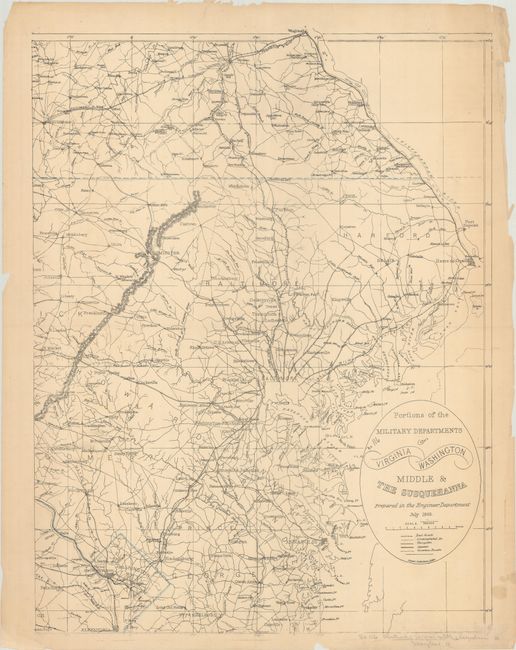
Subject: Mid-Atlantic United States

Period: 1863 (dated)

Publication:

Color: Hand Color

Size:
20.3 x 27 inches
51.6 x 68.6 cm
Download High Resolution Image
(or just click on image to launch the Zoom viewer)

This uncommon Civil War era map was prepared by the Engineer Department by Dennis Callahan. The map is the eastern half of a two-sheet map showing the railroads, roads, turnpikes, and canals in the Mid-Atlantic between Washington, DC and York, Pennsylvania.

References: Stephenson (Civil War) #47.2.

Condition: B+

Light toning with a few small stains at bottom right and some short tears and chipping along the edges of the sheet.

Estimate: $150 - $200

Sold for: $100

Closed on 9/15/2021

Archived