Catalog Archive
Auction 184, Lot 168

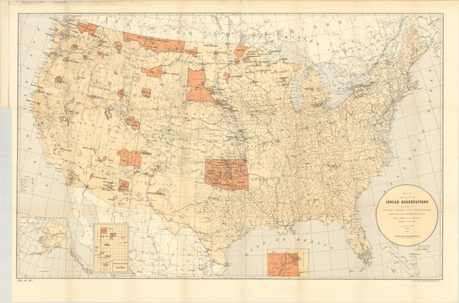
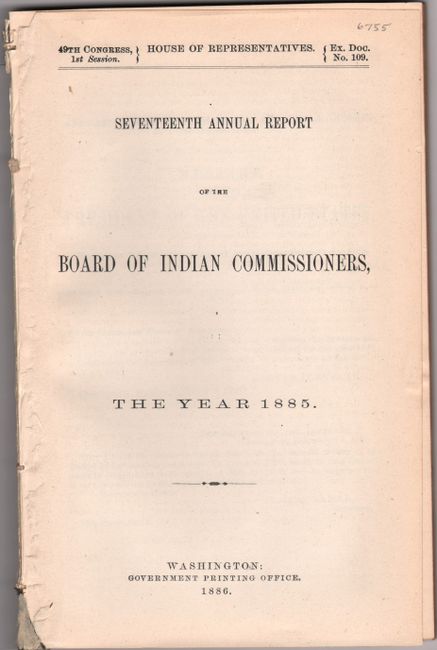
"[Map with Report] Map Showing the Location of the Indian Reservations Within the Limits of the United States and Territories... [with] Seventeenth Annual Report of the Board of Indian Commissioners, the Year 1885", U.S. Government

Subject: United States, Native Americans

Period: 1886 (published)

Publication: Sen. Ex. Doc. 109, 49th Congress, 1st Session

Color: Printed Color

Size:
33.5 x 21 inches
85.1 x 53.3 cm
Download High Resolution Image
(or just click on image to launch the Zoom viewer)

This large map of the United States focuses on the many Indian Reservations in the United States as of 1885. The reservations are named and shown in orange overprinting. The map also shows military stations, towns and villages, railroads, and Indian agencies. Includes insets of Alaska, Indian Territory, and Mission Indian Reservation (California) at bottom. Compiled under the direction of John Atkins, Commissioner of Indian Affairs. The map is accompanied by the 140-page disbound report, which is housed in archival paper covers with handwritten label.

References:

Condition: A

Condition code is for the map, which is clean and bright with a few minor edge tears along the top sheet edge. Disbound text has pleasant light toning and the title page is detached.

Estimate: $120 - $150

Sold for: $220

Closed on 9/15/2021

Archived