Subject: United States
Period: 1869 (published)
Publication: Rep. Com. No. 219, 40th Congress, 3rd Session
Color: Black & White
Size:
27.5 x 14 inches
69.9 x 35.6 cm
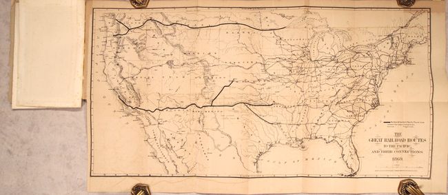
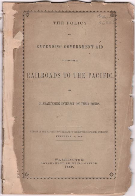
A terrific railroad map that is most notable in its depiction of the Golden Spike area in Utah: the entire track is shown completed except for 50 miles between Weber Canyon and Fort Bridger! As far as we know this is the only railroad map with this unique depiction. It was published just days before the completion of this historic railway. Scores of railroads are located throughout the country, including complete and projected lines; the Northern & Southern Pacific Trunk lines are shown in bold lines. Published by the American Photo-Lithographic Company using a printing technique called "Osborne's Process." The map is still bound into the original 31-page report with gray paper wrappers entitled "The Policy of Extending Government Aid to Additional Railroads to the Pacific by Guaranteeing Interest on Their Bonds."
References:
Condition: B+
The folding map has light toning and offsetting. Report text is mostly clean and bright. Front wrapper is detached with some small edge chips.