Subject: United States
Period: 1867 (published)
Publication:
Color: Hand Color
Size:
55.4 x 28 inches
140.7 x 71.1 cm
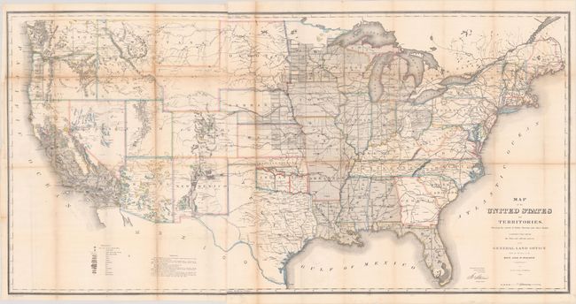
This map is one of the more remarkable maps produced by the General Land Office. It shows the extent of the Public Surveys in 1866 and is filled with features of great interest. Most significant are the gold, silver, copper, and other mineral deposits that are color-coded and keyed to the legend. The sites of army forts and posts provide an excellent view of the undeveloped territories and the western frontier. Details include land grants, townships, subdivisions, railroads, mining districts, etc. Present-day Wyoming is shown as an appendage to Dakota Territory. Made under the direction of Hon. J.S. Wilson, Commissioner, by Theodore Franks. Dated 1866.
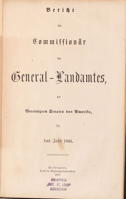
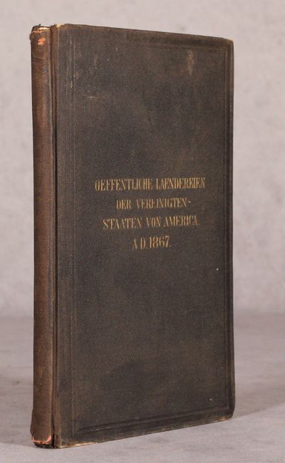
This map was originally issued in and is accompanied by a 47-page German edition of the General Land Office Commissioner's report for 1866. Between 1866-70, the GLO produced its annual report and maps in German and French as a promotional tool for western settlement. Octavo, hardbound in brown cloth with gilt title on spine.
References: Wheat (TMW) #1137; Phillips (A) #1388-23.
Condition: B
Issued folding and now flat with numerous small separations at the fold junctions with minor loss that have been closed on verso with archival materials. There is light toning along the folds and two edge tears at left (3" and 3.5") that have been closed on verso with masking tape. Accompanying text is light toned with light wear to the covers.