Catalog Archive
Auction 184, Lot 132

"[Lot of 2] Lower Canada, New Brunswick, Nova Scotia &c. [and] Upper Canada", Ettling, Theodor

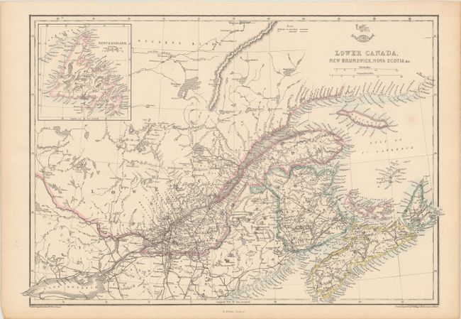
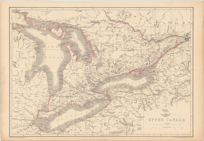
Subject: Eastern Canada

Period: 1860 (circa)

Publication: Weekly Dispatch Atlas

Color: Hand Color

Size:
17.6 x 12 inches
44.7 x 30.5 cm
Download High Resolution Image
(or just click on image to launch the Zoom viewer)

This lot of two maps covers Canada from Lake Huron to Cape Breton Island. The western sheet features two handsome maps on one sheet. There is good detail of roads, railroads (both extant and proposed), and counties. The Lower Canada map includes an inset of Newfoundland at top left. Drawn and engraved by Ettling; lithography by Edward Weller.

References:

Condition: A

There are minor spots and minor toning along the sheet edges.

Estimate: $100 - $130

Sold for: $75

Closed on 9/15/2021

Archived