Catalog Archive
Auction 183, Lot 469

"Armenia Vetus in Quattuor Partes Distincta ad Tempora Iustiniani Imp. ", de la Rue, Philippe
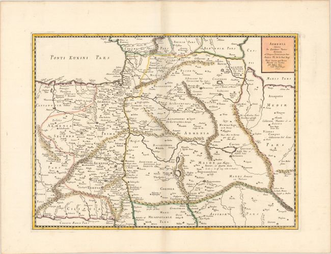
Subject: Caucasus

Period: 1653 (dated)

Publication:

Color: Hand Color

Size:
20.3 x 14.9 inches
51.6 x 37.8 cm
Download High Resolution Image
(or just click on image to launch the Zoom viewer)

This handsome map of ancient Armenia shows the region between the Black, Caspian, and Mediterranean Seas. The map is filled with classical place names, political boundaries, rope-like mountains and the river systems in the area. Dated 1653 but published in 1667 by Pierre Mariette.

References:

Condition: A

A sharp impression with contemporary outline color and later color in the cartouche, on a bright sheet with a large coat of arms watermark. There are minor extraneous creases adjacent to the centerfold, as well as a hint of toning along the centerfold and edges of the sheet.

Estimate: $275 - $350

Sold for: $190

Closed on 6/9/2021

Archived