Subject: Arabia
Period: 1540 (published)
Publication: Geographia Universalis
Color: Black & White
Size:
13.5 x 10.1 inches
34.3 x 25.7 cm
Sebastian Munster (1489 - 1552) was one of the three most renowned cartographers of the sixteenth century, along with Mercator and Ortelius. Munster's Geographia and Cosmographia Universalis were two of the most widely read and influential books of the period. His editions of Ptolemy's Geographia, published between 1540 and 1552, were illustrated with 48 woodcut maps, the standard 27 Ptolemaic maps supplemented by 21 new maps. These new maps included a separate map of each of the known continents and marked the development of regional cartography in Central Europe. The antique geography was a prelude to Munster's major work, the Cosmographia, which was published in nearly 30 editions in six languages between 1544 and 1578 and then was revised and reissued by Sebastian Petri from 1588 to 1628. The Cosmographia was a geographical as well as historical and ethnographic description of the world. It contained the maps from the Geographia plus additional regional maps and city views with nearly 500 illustrations which made it one of the most popular pictorial encyclopedias of the sixteen century.
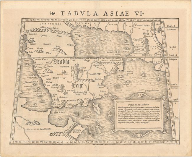
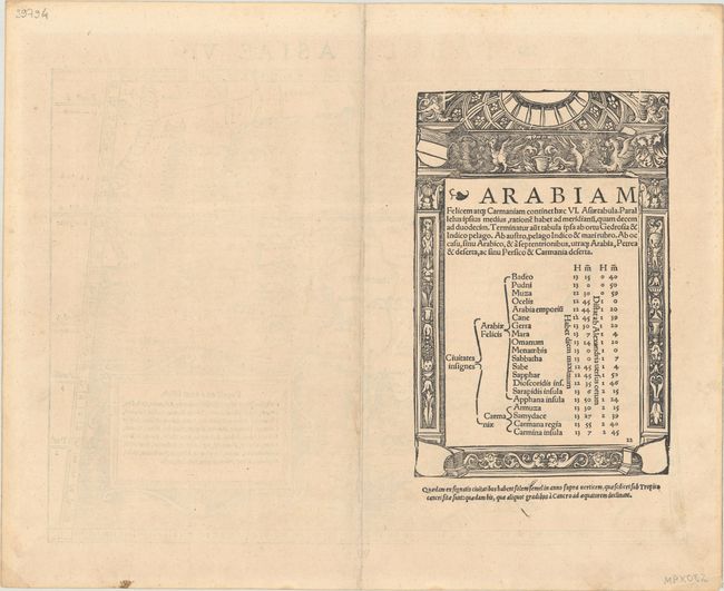
This fine woodcut is an early Ptolemaic map of the Arabian Peninsula here called Arabia Felix. It is a fairly good representation of the peninsula, although Ptolemy overestimated the width of the southern part of the peninsula and distorted the shape of the Arabian Gulf. The map is presented on a trapezoidal projection with parallels and meridians (forerunners of lines of longitude and latitude) enumerated in the borders. Major towns are named, although not accurately located, and the rivers are entirely imaginary. The cartouche includes the names of local tribes and a fanciful mermaid is shown in the sea. Latin text on verso contained in decorative border with columns at the sides and church dome above. This map was very influential and provided the basis on which European cartography depicted the region for nearly a century. Published in the first edition of Munster's Geographia Universalis.
References: Ankary #8; Mickwitz & Miekkavaara #210-22; Tibbetts #21.
Condition: B+
A nice impression with light toning, minor soiling, and a small hole along the centerfold in the bottom blank margin.