Catalog Archive
Auction 183, Lot 308
"A Chart of the Atlantic Ocean, Exhibiting the Seat of War Both in Europe and America According to the Latest Discoveries and Regulated by Astronomical Observations", Cary, John
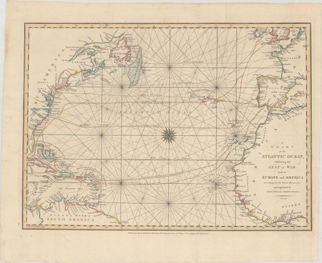
Subject: North Atlantic
Period: 1780 (dated)
Publication:
Color: Hand Color
Size:
16.7 x 12.1 inches
42.4 x 30.7 cm
Download High Resolution Image
(or just click on image to launch the Zoom viewer)
(or just click on image to launch the Zoom viewer)