Catalog Archive
Auction 183, Lot 299

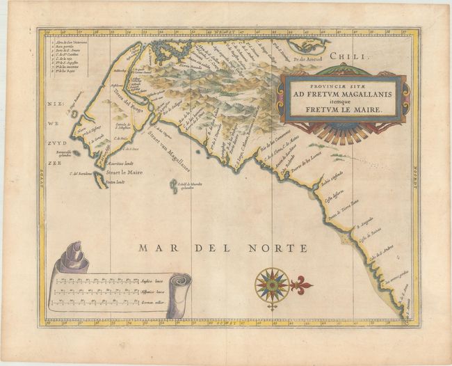
"Provinciae Sitae ad Fretum Magallanis Itemque Fretum le Maire", Gerritsz/De Laet

Subject: Southern South America

Period: 1630 (circa)

Publication: Beschrijvinghe van West-Indien…

Color: Hand Color

Size:
14.1 x 11 inches
35.8 x 27.9 cm
Download High Resolution Image
(or just click on image to launch the Zoom viewer)

This fine map is the work of Hessel Gerritsz, one of the most important Dutch cartographers of the 17th century. The map vividly depicts the important tip of South America, key to European trade with the East Indies, with the narrow and treacherous Strait of Magellan and the recently discovered Strait le Maire. The map is oriented with north on the right and it is simply embellished with a strapwork title cartouche, compass rose and banner containing three distance scales.

References: Shirley (BL Atlases) G.LAET-1b #10.

Condition: A

A hint of toning on paper with a fleur-de-lis coat of arms watermark.

Estimate: $400 - $475

Sold for: $200

Closed on 6/9/2021

Archived